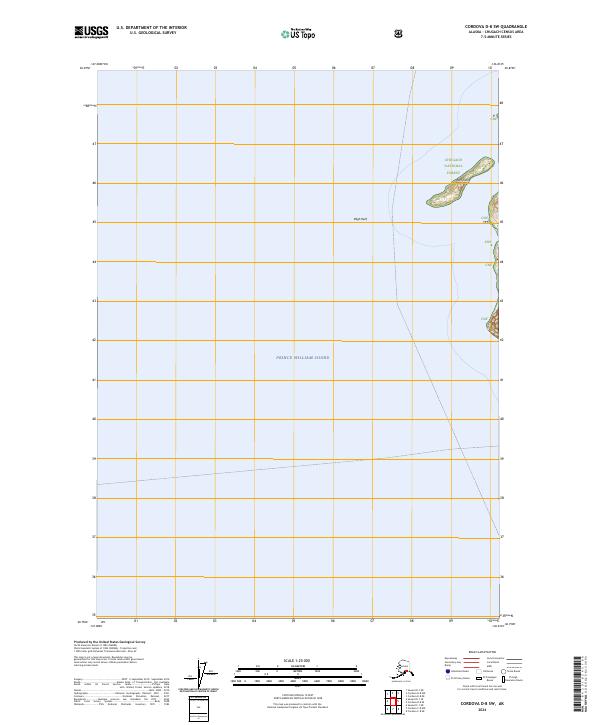
2024 Map of Cordova D-8 SW
USGS Topo · Published 2024About this map
Prince William Sound dominates this coastal maritime environment, where the shoreline of the Chugach National Forest meets the open water. The map focuses on a series of navigational landmarks and landforms, most notably Reef Island and the infamous Bligh Reef. This is a landscape defined by its nautical significance, showing the precise intersection of public forest lands and the sea. The cartography provides a clear view of the Cnf boundaries along the coast, illustrating how the terrestrial wilderness of the national forest gives way to the deep channels and reef systems of the sound. This specific quadrangle serves as a detailed record of the islands and submerged hazards that characterize this part of the Alaskan coastline.
Find a feature on this map
9 named features on this map. Tap any name to fly to it.
Don’t see what you’re looking for? This feature index may not catch every label — zoom into the map to look around manually.
Map Details
Editions of this 2024 Cordova D-8 SW Map
This is the sole edition of this map. No revisions or reprints were ever made.
Other maps of this area

1948 · Cordova
USGS Topo · 1:250,000

1950 · Cordova C-8
USGS Topo · 1:63,360

1951 · Seward
USGS Topo · 1:250,000

1951 · Cordova
USGS Topo · 1:250,000

1951 · Seward D-1
USGS Topo · 1:63,360

1951 · Cordova D-8
USGS Topo · 1:63,360

1951 · Seward C-1
USGS Topo · 1:63,360

1952 · Seward C-1
USGS Topo · 1:63,360

1952 · Seward D-1
USGS Topo · 1:63,360

1952 · Cordova D-8
USGS Topo · 1:63,360