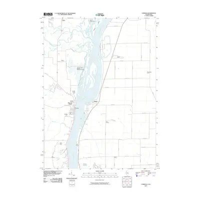
2010 Map of Cordova
USGS Topo · Published 2010About this map
The Mississippi River serves as the dividing line between Iowa and Illinois in this 2010 survey, where the Wapsipinicon River flows in from the west to join the main channel. On the Iowa side, the community of Princeton is well-defined, featuring the Princeton Post Office, Oak Ridge Cemetery, and Princeton City Cemetery. North of town, the vast Princeton State Wildlife Management Area occupies the wetlands and islands near the river's confluence. Across the water in Illinois, Cordova sits along the eastern bank, supported by a network of rural routes like 157th Ave N.
Find a feature on this map
58 named features on this map. Tap any name to fly to it.
Don’t see what you’re looking for? This feature index may not catch every label — zoom into the map to look around manually.
Map Details
Editions of this 2010 Cordova Map
This is the sole edition of this map. No revisions or reprints were ever made.
Other maps of this area

1891 · Clinton
USGS Topo · 1:62,500

1892 · Goose Lake
USGS Topo · 1:62,500

1892 · Leclaire
USGS Topo · 1:62,500

1893 · Leclaire
USGS Topo · 1:62,500

1894 · Goose Lake
USGS Topo · 1:62,500

1894 · Clinton
USGS Topo · 1:62,500

1899 · Clinton
USGS Topo · 1:125,000

1949 · Silvis
USGS Topo · 1:24,000

1949 · Port Byron
USGS Topo · 1:24,000

1950 · Port Byron
USGS Topo · 1:24,000