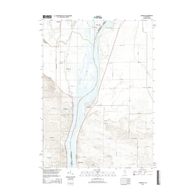
2015 Map of Cordova
USGS Topo · Published 2015About this map
The Mississippi River serves as the central artery and dividing line between Iowa and Illinois in this 2015 study, which details the riverside communities of Cordova and Port Byron on the Illinois side and Princeton and Folletts on the Iowa bank. The landscape is shaped by complex riverine features, including Adams Island, the winding Wapsipinicon River, and various backwater channels like Grant Slough and Cordova Slough. This modern survey is particularly valuable for local historians and genealogists, as it identifies several established burial grounds across both states, including Princeton City Cemetery, Oak Ridge Cemetery, and Nowlin Cemetery in Iowa, as well as Baker Cemetery and Fairfield Cemetery in Illinois. The transportation network is defined by major routes such as Great River Road and North River Drive, reflecting the area's continued orientation toward the river valley.
Find a feature on this map
75 named features on this map. Tap any name to fly to it.
Don’t see what you’re looking for? This feature index may not catch every label — zoom into the map to look around manually.
Map Details
Editions of this 2015 Cordova Map
This is the sole edition of this map. No revisions or reprints were ever made.
Other maps of this area

1891 · Clinton
USGS Topo · 1:62,500

1892 · Goose Lake
USGS Topo · 1:62,500

1892 · Leclaire
USGS Topo · 1:62,500

1893 · Leclaire
USGS Topo · 1:62,500

1894 · Goose Lake
USGS Topo · 1:62,500

1894 · Clinton
USGS Topo · 1:62,500

1899 · Clinton
USGS Topo · 1:125,000

1949 · Silvis
USGS Topo · 1:24,000

1949 · Port Byron
USGS Topo · 1:24,000

1950 · Port Byron
USGS Topo · 1:24,000