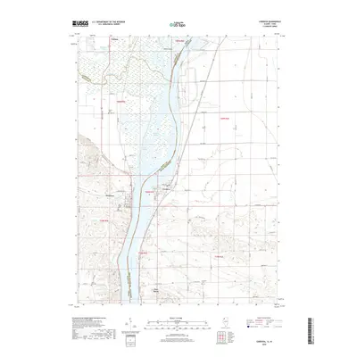
2018 Map of Cordova
USGS Topo · Published 2018About this map
The Mississippi River serves as the central artery for this borderland where Iowa and Illinois meet. Along its eastern banks, the village of Cordova and the town of Port Byron highlight the long-standing riverfront settlement patterns of Rock Island County. Across the water in Iowa, the landscape around Princeton is defined by its proximity to the confluence of the Wapsipinicon River and its various tributaries like Whiskey Run Cr and Lost Cr.
Find a feature on this map
82 named features on this map. Tap any name to fly to it.
Don’t see what you’re looking for? This feature index may not catch every label — zoom into the map to look around manually.
Map Details
Editions of this 2018 Cordova Map
This is the sole edition of this map. No revisions or reprints were ever made.
Other maps of this area

1891 · Clinton
USGS Topo · 1:62,500

1892 · Goose Lake
USGS Topo · 1:62,500

1892 · Leclaire
USGS Topo · 1:62,500

1893 · Leclaire
USGS Topo · 1:62,500

1894 · Goose Lake
USGS Topo · 1:62,500

1894 · Clinton
USGS Topo · 1:62,500

1899 · Clinton
USGS Topo · 1:125,000

1949 · Silvis
USGS Topo · 1:24,000

1949 · Port Byron
USGS Topo · 1:24,000

1950 · Port Byron
USGS Topo · 1:24,000