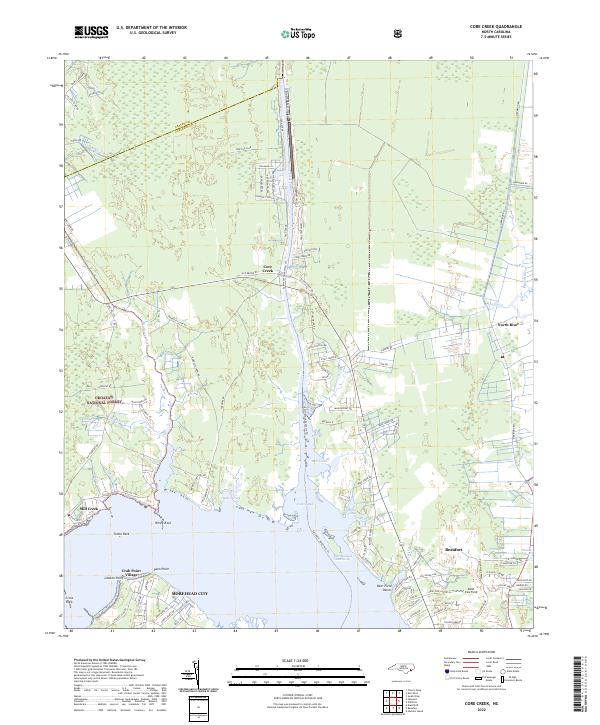
2022 Map of Core Creek
USGS Topo · Published 2022About this map
Croatan National Forest borders the tidal marshes and coastal creeks of this Carteret County landscape, where the Intracoastal Waterway cuts through the heart of the region. The waterway’s path follows the Adams Creek Canal and the natural course of Core Creek, facilitating maritime transit between the Neuse River and the sound. Along the southern shoreline, the urban edge of Morehead City and Beaufort transition into quieter residential developments and historical landings like Crab Point Village and Lawton Point.
Find a feature on this map
109 named features on this map. Tap any name to fly to it.
Don’t see what you’re looking for? This feature index may not catch every label — zoom into the map to look around manually.
Map Details
Editions of this 2022 Core Creek Map
This is the sole edition of this map. No revisions or reprints were ever made.
Other maps of this area
1949 · Beaufort
USGS Topo · 1:24,000
1949 · Merrimon
USGS Topo · 1:24,000
1949 · Newport
USGS Topo · 1:24,000
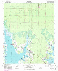
1949 · Williston
USGS Topo · 1:24,000
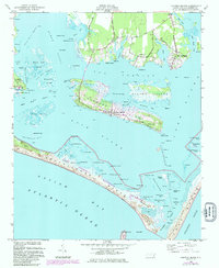
1949 · Harkers Island
USGS Topo · 1:24,000
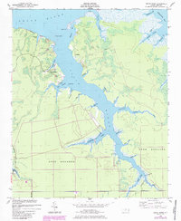
1949 · South River
USGS Topo · 1:24,000
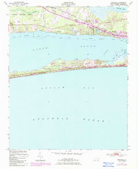
1949 · Mansfield
USGS Topo · 1:24,000
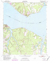
1949 · Cherry Point
USGS Topo · 1:24,000
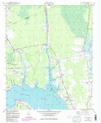
1949 · Core Creek
USGS Topo · 1:24,000
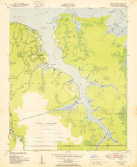
1950 · South River
USGS Topo · 1:24,000