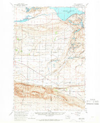
1965 Map of Corfu
USGS Topo · Published 1966About this map
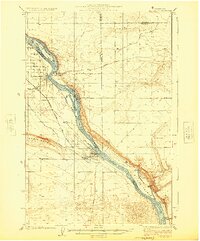
The Chicago Milwaukee St Paul and Pacific railroad cuts a straight path through the desert landscape of this mid-1960s survey, anchoring the small settlements of Corfu and Taunton. The region is defined by the massive irrigation and water management efforts of the mid-century, evidenced by the Potholes Reservoir held by the O'Sullivan Dam and the intricate network of the West Canal and Crab Creek Lateral. These engineering works transformed the Royal Slope and Wahluke Slope into productive agricultural zones.
Find a feature on this map
56 named features on this map. Tap any name to fly to it.
Don’t see what you’re looking for? This feature index may not catch every label — zoom into the map to look around manually.
Map Details
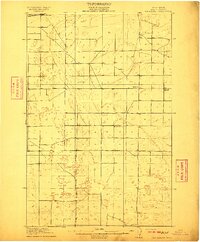
Editions of this 1965 Corfu Map
2 editions found

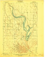
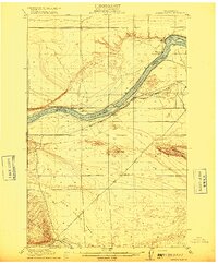
Other maps of this area
1910 · Winchester
USGS Topo · 1:62,500

1911 · Red Rock
USGS Topo · 1:62,500
1912 · Moses Lake
USGS Topo · 1:62,500
1916 · Coyote Rapids
USGS Topo · 1:62,500

1923 · Corfu
USGS Topo · 1:62,500

1923 · Wheeler
USGS Topo · 1:62,500

1924 · Othello
USGS Topo · 1:62,500
1924 · Hanford
USGS Topo · 1:62,500

1925 · Wheeler
USGS Topo · 1:62,500

1925 · Scooteney Lake
USGS Topo · 1:62,500