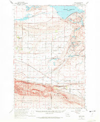
1965 Map of Corfu
USGS Topo · Published 1972About this map
Frenchman Hills and the Saddle Mountains define the high-desert relief of this mid-1960s survey, marking a period of significant reclamation and infrastructure development in the Columbia Basin. The northern portion of the map is dominated by the Potholes Reservoir, held by the massive O'Sullivan Dam, which transformed the landscape into a complex of lakes including Heron Lake, Falcon Lake, and Blythe Lake within the Columbia National Wildlife Refuge.
Find a feature on this map
52 named features on this map. Tap any name to fly to it.
Don’t see what you’re looking for? This feature index may not catch every label — zoom into the map to look around manually.
Map Details
Editions of this 1965 Corfu Map
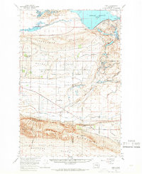
2 editions found
Other maps of this area

1910 · Winchester
USGS Topo · 1:62,500

1911 · Red Rock
USGS Topo · 1:62,500

1912 · Moses Lake
USGS Topo · 1:62,500

1916 · Coyote Rapids
USGS Topo · 1:62,500

1923 · Corfu
USGS Topo · 1:62,500

1923 · Wheeler
USGS Topo · 1:62,500

1924 · Othello
USGS Topo · 1:62,500

1924 · Hanford
USGS Topo · 1:62,500

1925 · Wheeler
USGS Topo · 1:62,500

1925 · Scooteney Lake
USGS Topo · 1:62,500