
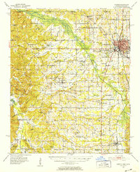
1950 Map of Corinth
USGS Topo · Published 1952About this map
The rail-driven hub of Corinth serves as the focal point of this 1950s survey, where the Gulf Mobile and Ohio, Illinois Central, and Southern railroads converge. This strategic intersection, vital during the Civil War, remains a dense network of industry and settlement, featuring the National Cemetery and the Corinth Airport. Surrounding the city, the landscape transition is marked by the engineered Tuscumbia Canal and the natural winding of the Hatchie River, providing a clear look at the region's complex water management.
Find a feature on this map
103 named features on this map. Tap any name to fly to it.
Don’t see what you’re looking for? This feature index may not catch every label — zoom into the map to look around manually.
Map Details
Editions of this 1950 Corinth Map
3 editions found
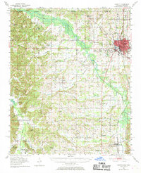
Other maps of this area

1921 · Booneville
USGS Topo · 1:48,000

1922 · Booneville
USGS Topo · 1:62,500

1935 · Glens
USGS Topo · 1:24,000

1936 · Kendrick
USGS Topo · 1:24,000

1936 · Michie
USGS Topo · 1:24,000

1949 · Michie
USGS Topo · 1:24,000

1950 · Kendrick
USGS Topo · 1:24,000

1950 · Glens
USGS Topo · 1:24,000

1950 · Altitude
USGS Topo · 1:24,000

1950 · Pocahontas
USGS Topo · 1:24,000