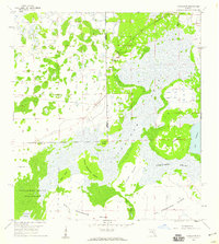
1958 Map of Corkscrew
USGS Topo · Published 1959About this map
Corkscrew Swamp dominates this Southwest Florida landscape, revealing a complex network of wetlands and upland hammocks before extensive regional development. The 1958 survey captures the primitive character of the Corkscrew Swamp Sanctuary and surrounding terrain, where the boundary between Lee and Collier counties cuts through dense strands and marshes. The settlement pattern is sparse, centered on the small community of Corkscrew and the elevated terrain of Ruess Island.
Find a feature on this map
16 named features on this map. Tap any name to fly to it.
Don’t see what you’re looking for? This feature index may not catch every label — zoom into the map to look around manually.
Map Details
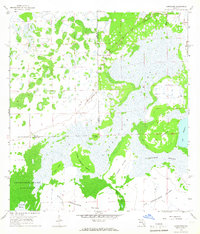
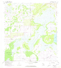
Editions of this 1958 Corkscrew Map
3 editions found
Other maps of this area

1956 · West Palm Beach
USGS Topo · 1:250,000

1957 · West Palm Beach
USGS Topo · 1:250,000

1958 · West Palm Beach
USGS Topo · 1:250,000

1958 · Corkscrew SE
USGS Topo · 1:24,000

1958 · Corkscrew NW
USGS Topo · 1:24,000

1958 · Immokalee
USGS Topo · 1:24,000

1958 · Felda
USGS Topo · 1:24,000

1958 · Immokalee SW
USGS Topo · 1:24,000

1958 · Alva SW
USGS Topo · 1:24,000

1958 · Corkscrew SW
USGS Topo · 1:24,000