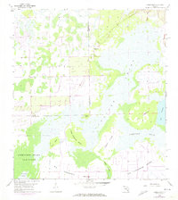
1958 Map of Corkscrew
USGS Topo · Published 1974About this map
Corkscrew Swamp Sanctuary anchors this landscape in the mid-20th century, representing a critical effort to preserve the ancient cypress strands and unique hydrology of Southwest Florida. This region is characterized by an intricate mosaic of elevated landforms known as islands and hammocks, including Big Corkscrew Island, Hogan Island, and Little Corkscrew Island. These areas provided dry footing and unique habitats within the broader expanse of the Corkscrew Swamp.
Find a feature on this map
15 named features on this map. Tap any name to fly to it.
Don’t see what you’re looking for? This feature index may not catch every label — zoom into the map to look around manually.
Map Details
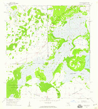
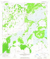
Editions of this 1958 Corkscrew Map
3 editions found
Other maps of this area

1956 · West Palm Beach
USGS Topo · 1:250,000

1957 · West Palm Beach
USGS Topo · 1:250,000

1958 · West Palm Beach
USGS Topo · 1:250,000

1958 · Corkscrew SE
USGS Topo · 1:24,000

1958 · Corkscrew NW
USGS Topo · 1:24,000

1958 · Immokalee
USGS Topo · 1:24,000

1958 · Felda
USGS Topo · 1:24,000

1958 · Immokalee SW
USGS Topo · 1:24,000

1958 · Alva SW
USGS Topo · 1:24,000

1958 · Corkscrew SW
USGS Topo · 1:24,000