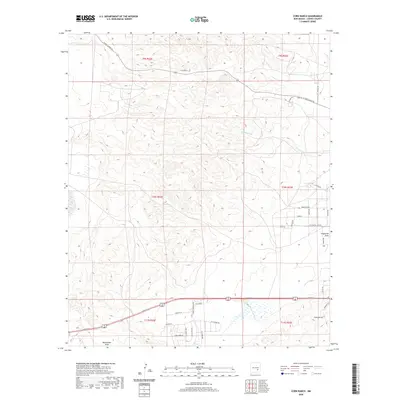
2020 Map of Corn Ranch
USGS Topo · Published 2020About this map
Corn Ranch and the surrounding high plains of Chaves County are mapped here in precise detail, showcasing a landscape defined by ranching heritage and modern residential expansion. The northern portion of the sheet is dominated by open range and ephemeral watercourses like Berrendo Cr, while the southern section reveals suburban development along the western edge of the Pecos Valley. Significant drainage features such as Eightmile Draw and Blackwater Draw carve through the terrain, illustrating the natural hydrological patterns of the region.
Find a feature on this map
35 named features on this map. Tap any name to fly to it.
Don’t see what you’re looking for? This feature index may not catch every label — zoom into the map to look around manually.
Map Details
Editions of this 2020 Corn Ranch Map
This is the sole edition of this map. No revisions or reprints were ever made.
Other maps of this area

1949 · Hondo Reservoir
USGS Topo · 1:24,000

1949 · Roswell North
USGS Topo · 1:24,000

1949 · Roswell South
USGS Topo · 1:24,000

1949 · Corn Ranch
USGS Topo · 1:24,000

1950 · Corn Ranch
USGS Topo · 1:24,000

1955 · Roswell
USGS Topo · 1:250,000

1956 · Diamond A Ranch
USGS Topo · 1:24,000

1958 · Roswell
USGS Topo · 1:250,000

1959 · Diamond A Ranch
USGS Topo · 1:24,000

1962 · Roswell
USGS Topo · 1:250,000