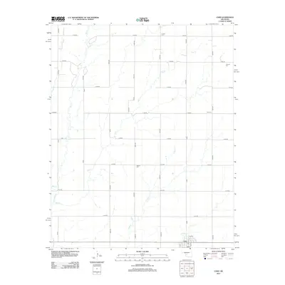
2012 Map of Corn
USGS Topo · Published 2012About this map
Corn serves as the primary hub of this Western Oklahoma landscape, characterized by a meticulous grid of rural roads and scattered historical landmarks. The area's spiritual and community legacy is preserved through several family and community burial grounds, including S Cedar Cem, Krimmer Cem, Zion Cem, and Bergthal Cem. These sites, often situated near intermittent watercourses like Gyp Cr and Coffee Cr, reflect the early 20th-century settlement patterns of Washita County. To the south, the Washita River cuts through the terrain, while the settlement of Corn shows an organized street plan featuring Reimer St and John St. The presence of the E Union church near the southern boundary suggests a long-standing pocket of local congregation, providing a clear point of interest for those researching regional genealogy or the evolution of Great Plains farmstead distribution.
Find a feature on this map
36 named features on this map. Tap any name to fly to it.
Don’t see what you’re looking for? This feature index may not catch every label — zoom into the map to look around manually.
Map Details
Editions of this 2012 Corn Map
This is the sole edition of this map. No revisions or reprints were ever made.
Other maps of this area

1955 · Clinton
USGS Topo · 1:250,000

1956 · Cordell
USGS Topo · 1:62,500

1957 · Clinton
USGS Topo · 1:250,000

1957 · Clinton
USGS Topo · 1:62,500

1961 · Eakly
USGS Topo · 1:62,500

1964 · Weatherford
USGS Topo · 1:62,500

1976 · Clinton SE
USGS Topo · 1:24,000

1976 · Clinton SW
USGS Topo · 1:24,000
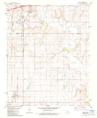
1983 · Bessie
USGS Topo · 1:24,000
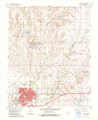
1983 · Clinton
USGS Topo · 1:24,000