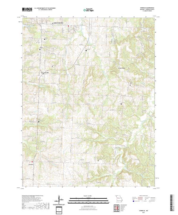
2021 Map of Cornelia
USGS Topo · Published 2021This historical map portrays the area of Cornelia in 2021, primarily covering Johnson County. Featuring a scale of 1:24000, this map provides a highly detailed snapshot of the terrain, roads, buildings, counties, and historical landmarks in the Cornelia region at the time. Published in 2021, it is the sole known edition of this map.
Map Details
Editions of this 2021 Cornelia Map
This is the sole edition of this map. No revisions or reprints were ever made.
Historical Maps of Pertle Springs Through Time
15 maps found
1917 Knobnoster
Johnson County, MO
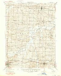
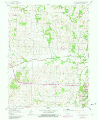
1954 Quick City
Johnson County, MO
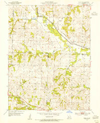
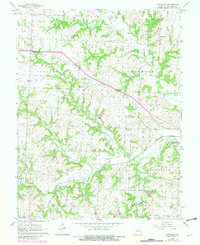
1955 Burtville
Johnson County, MO
1955 Cornelia
Johnson County, MO
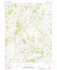
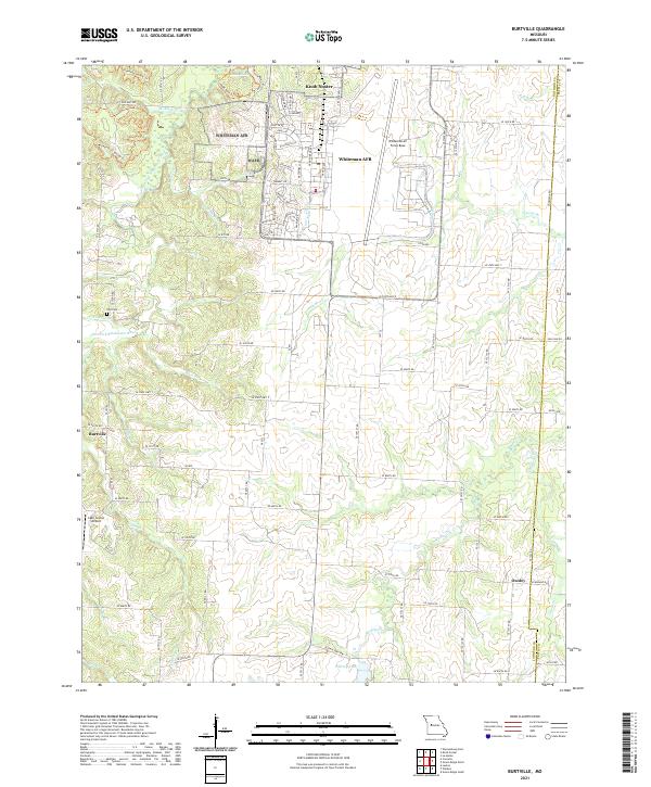
1962 Elm
Johnson County, MO
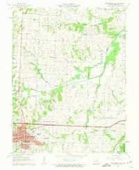
1962 Warrensburg East
Johnson County, MO
1962 Warrensburg West
Johnson County, MO
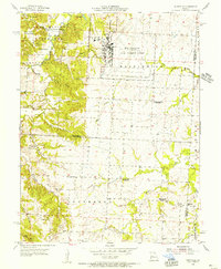
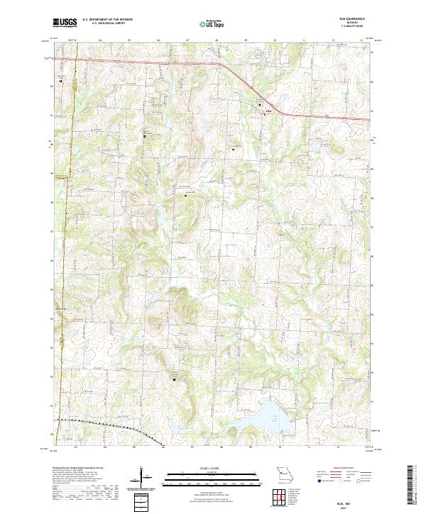
1963 Pittsville
Johnson County, MO
2021 Burtville
Johnson County, MO
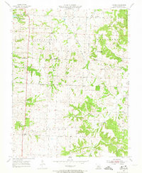
2021 Cornelia
Johnson County, MO
2021 Elm
Johnson County, MO
2021 Pittsville
Johnson County, MO
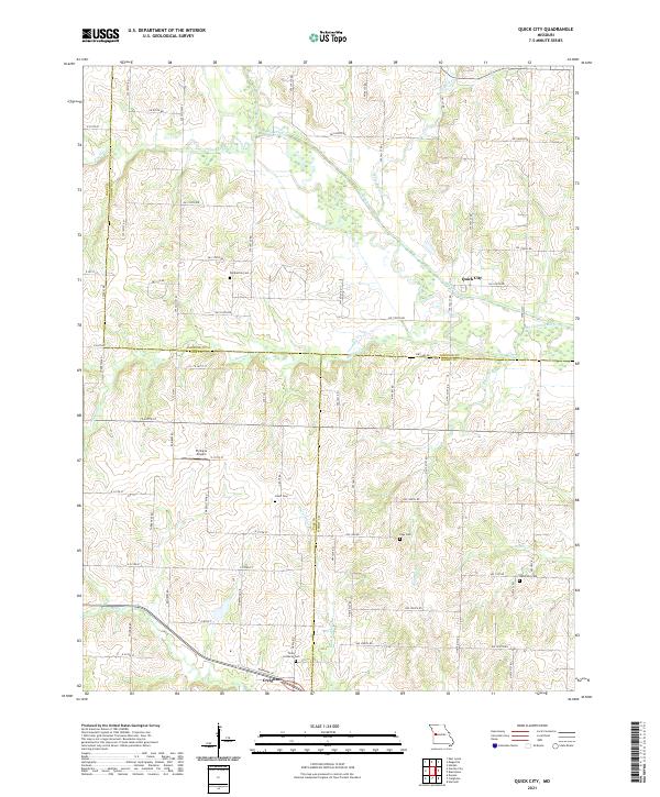
2021 Quick City
Johnson County, MO
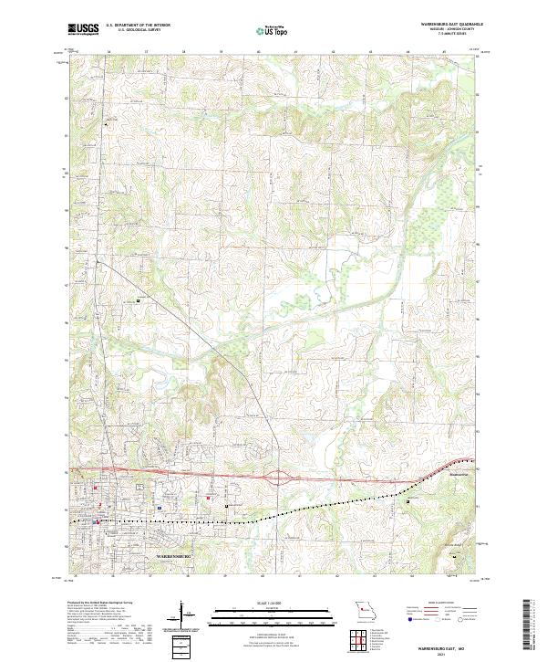
2021 Warrensburg East
Johnson County, MO
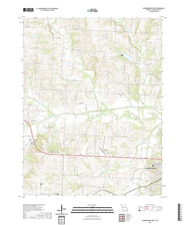
2021 Warrensburg West
Johnson County, MO