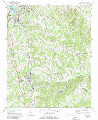
1970 Map of Cornelius
USGS Topo · Published 1989About this map
The growing corridor between Davidson and Huntersville is anchored by the Southern railroad line as it was documented in 1970. This area of northern Mecklenburg County shows the early impact of Lake Norman, with the waters of Gambles Creek and the shoreline beginning to shape the western boundary near Smithville. The academic presence of Davidson College dominates the northern portion of the sheet, while the rural landscape to the east is defined by a network of historic congregations including Hopewell Ch, Ramah Ch, and Asbury Ch. Industrial and institutional development is evident in the southern reaches, where the Macklenburg Sanatorium and a State Prison sit amidst a terrain drained by the South Prong West Branch Rocky River. Genealogists will find significant value in the numerous burial grounds and churches scattered throughout, such as the Bethel Cem and St Phillips Cem, which mark the centers of early rural communities like Caldwell and Ferrelltown.
Find a feature on this map
40 named features on this map. Tap any name to fly to it.
Don’t see what you’re looking for? This feature index may not catch every label — zoom into the map to look around manually.
Map Details
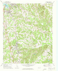
Editions of this 1970 Cornelius Map
2 editions found
Other maps of this area

1893 · Statesville
USGS Topo · 1:125,000

1941 · Charlotte
USGS Topo · 1:125,000

1942 · Charlotte
USGS Topo · 1:125,000

1948 · Paw Creek
USGS Topo · 1:24,000

1948 · Derita
USGS Topo · 1:24,000

1949 · Kannapolis
USGS Topo · 1:24,000

1949 · Harrisburg
USGS Topo · 1:24,000

1949 · Hicks Crossroads
USGS Topo · 1:24,000

1953 · Charlotte
USGS Topo · 1:250,000

1954 · Charlotte
USGS Topo · 1:250,000