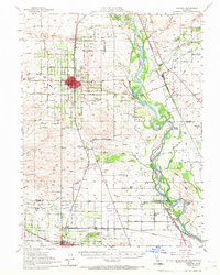
1951 Map of Corning
USGS Topo · Published 1967About this map
The Sacramento River meanders through this agricultural landscape at the midpoint of the century, defining the boundaries of Tehama, Butte, and Glenn counties. The Southern Pacific railroad serves as the primary corridor for commerce, connecting established hubs like Corning and Orland with smaller railside points such as Richfield and Kirkwood. Near the river, the presence of McIntosh Landing and Wilson Landing highlights the era when river traffic was a critical lifeline for valley growers.
Find a feature on this map
96 named features on this map. Tap any name to fly to it.
Don’t see what you’re looking for? This feature index may not catch every label — zoom into the map to look around manually.
Map Details
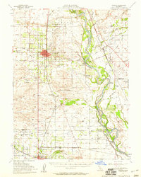
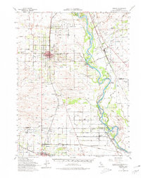
Editions of this 1951 Corning Map
3 editions found
Other maps of this area

1886 · Lassen Peak
USGS Topo · 1:250,000

1890 · Red Bluff
USGS Topo · 1:250,000

1891 · Chico
USGS Topo · 1:125,000

1892 · Lassen Peak
USGS Topo · 1:250,000

1893 · Chico
USGS Topo · 1:125,000

1894 · Lassen Peak
USGS Topo · 1:250,000

1894 · Red Bluff
USGS Topo · 1:250,000

1895 · Chico
USGS Topo · 1:125,000

1904 · Vina
USGS Topo · 1:62,500

1904 · Walker Creek
USGS Topo · 1:31,680