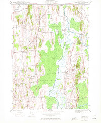
1943 Map of Cornwall
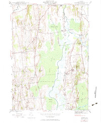
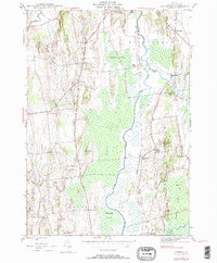
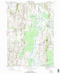
USGS Topo · Published 1972About this map
Otter Creek dominates the low-lying center of this Addison County landscape, surrounded by the expansive wetlands of Middlebury Swamp and Cedar Swamp. The 1943 survey captures the agrarian character of the region, where the Rutland railroad line parallels the water, connecting small hubs like Salisbury Sta and Farmingdale. The terrain rises to the west toward The Ledges, a ridge overlooking the Lemon Fair River, while numerous family-named peaks such as Scove Hill and De Long Hill dot the valley.
Find a feature on this map
45 named features on this map. Tap any name to fly to it.
Don’t see what you’re looking for? This feature index may not catch every label — zoom into the map to look around manually.
Map Details
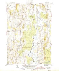
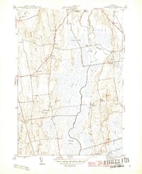
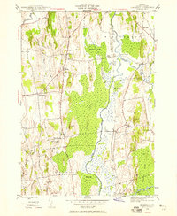
Editions of this 1943 Cornwall Map
7 editions found
Other maps of this area

1894 · Port Henry
USGS Topo · 1:62,500

1894 · Ticonderoga
USGS Topo · 1:62,500

1896 · Ticonderoga
USGS Topo · 1:62,500

1898 · Port Henry
USGS Topo · 1:62,500

1902 · Ticonderoga
USGS Topo · 1:62,500

1902 · Brandon
USGS Topo · 1:62,500

1903 · Middlebury
USGS Topo · 1:62,500

1904 · Brandon
USGS Topo · 1:62,500

1905 · Middlebury
USGS Topo · 1:62,500

1920 · Brandon
USGS Topo · 1:62,500