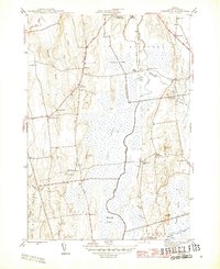
1943 Map of Cornwall
USGS Topo · Published 1946About this map
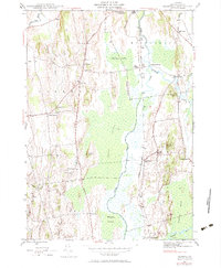
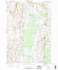
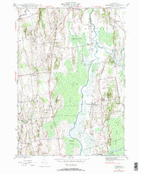
The Otter Creek basin defines the central geography of this mid-century Vermont survey, where a complex network of wetlands like Middlebury Swamp and Cedar Swamp separates the upland settlements. This map documents a transitional period for the rural economy, showing the Rutland railroad line serving the Salisbury Sta and the dairying hamlets of West Salisbury and Farmingdale. The landscape is etched with local genealogy, from the Evergreen Cem and Pleasant View Cem to the numerous district schoolhouses like School No 4 and Cady School that once dotted the countryside.
Find a feature on this map
52 named features on this map. Tap any name to fly to it.
Don’t see what you’re looking for? This feature index may not catch every label — zoom into the map to look around manually.
Map Details
Editions of this 1943 Cornwall Map
7 editions found
Other maps of this area

1894 · Port Henry
USGS Topo · 1:62,500

1894 · Ticonderoga
USGS Topo · 1:62,500

1896 · Ticonderoga
USGS Topo · 1:62,500

1898 · Port Henry
USGS Topo · 1:62,500

1902 · Ticonderoga
USGS Topo · 1:62,500

1902 · Brandon
USGS Topo · 1:62,500

1903 · Middlebury
USGS Topo · 1:62,500

1904 · Brandon
USGS Topo · 1:62,500

1905 · Middlebury
USGS Topo · 1:62,500

1920 · Brandon
USGS Topo · 1:62,500