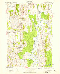
1943 Map of Cornwall
USGS Topo · Published 1958About this map
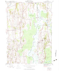
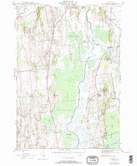
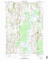
Otter Creek meanders through the heart of the central Champlain Valley, defining the low-lying wetlands of Middlebury Swamp, Cedar Swamp, and Salisbury Swamp. This 1940s landscape is structured by the Rutland Railroad corridor, which connects the small hamlets of Salisbury Sta and Farmingdale to the broader regional economy. The rural character of Cornwall and Salisbury is evident in the network of numbered district schools, such as School No 2 and School No 4, alongside family-named landmarks like Dyer Hill and De Long Hill. The presence of Porter Hospital and the Middlebury Country Club at the northern edge indicates the early 20th-century development radiating from the nearby college town. Transportation routes like the Seth Warner Highway follow the high ground between the drainage basins of the Lemon Fair River and the Otter Creek valley.
Find a feature on this map
44 named features on this map. Tap any name to fly to it.
Don’t see what you’re looking for? This feature index may not catch every label — zoom into the map to look around manually.
Map Details
Editions of this 1943 Cornwall Map
7 editions found
Other maps of this area

1894 · Port Henry
USGS Topo · 1:62,500

1894 · Ticonderoga
USGS Topo · 1:62,500

1896 · Ticonderoga
USGS Topo · 1:62,500

1898 · Port Henry
USGS Topo · 1:62,500

1902 · Ticonderoga
USGS Topo · 1:62,500

1902 · Brandon
USGS Topo · 1:62,500

1903 · Middlebury
USGS Topo · 1:62,500

1904 · Brandon
USGS Topo · 1:62,500

1905 · Middlebury
USGS Topo · 1:62,500

1920 · Brandon
USGS Topo · 1:62,500