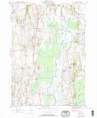
1943 Map of Cornwall
USGS Topo · Published 1990About this map
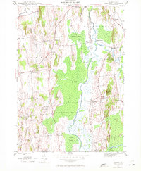
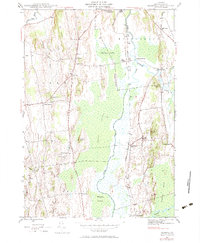
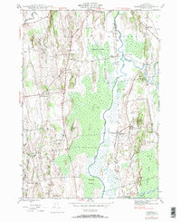
Otter Creek meanders through a vast network of wetlands, including Middlebury Swamp and Cedar Swamp, which dominate the central corridor of this Vermont landscape. The topography is defined by distinct elevations such as The Ledges and Scove Hill, while the Rutland railroad line tracks the lowlands, serving historic stop points like Salisbury Sta and Piper Crossing.
Find a feature on this map
42 named features on this map. Tap any name to fly to it.
Don’t see what you’re looking for? This feature index may not catch every label — zoom into the map to look around manually.
Map Details
Editions of this 1943 Cornwall Map
7 editions found
Other maps of this area

1894 · Port Henry
USGS Topo · 1:62,500

1894 · Ticonderoga
USGS Topo · 1:62,500

1896 · Ticonderoga
USGS Topo · 1:62,500

1898 · Port Henry
USGS Topo · 1:62,500

1902 · Ticonderoga
USGS Topo · 1:62,500

1902 · Brandon
USGS Topo · 1:62,500

1903 · Middlebury
USGS Topo · 1:62,500

1904 · Brandon
USGS Topo · 1:62,500

1905 · Middlebury
USGS Topo · 1:62,500

1920 · Brandon
USGS Topo · 1:62,500