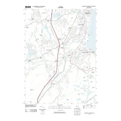
2010 Map of Cornwall-on-Hudson
USGS Topo · Published 2010About this map
The Hudson River shoreline and the high ridges of Schunnemunk Mountain define this section of Orange County in the early 21st century. The landscape is a complex mix of established urban centers like Newburgh and New Windsor, and the evolving suburban and rural spaces of Cornwall-on-Hudson and Mountainville. Substantial infrastructure like Stewart International Airport and the commercial corridors near Vails Gate Junction contrast with the protected environments of the Black Rock Forest area, where Aleck Meadow Reservoir and Sutherland Pond are located.
Find a feature on this map
94 named features on this map. Tap any name to fly to it.
Don’t see what you’re looking for? This feature index may not catch every label — zoom into the map to look around manually.
Map Details
Editions of this 2010 Cornwall-on-Hudson Map
This is the sole edition of this map. No revisions or reprints were ever made.
Other maps of this area

1892 · West Point
USGS Topo · 1:62,500

1893 · Poughkeepsie
USGS Topo · 1:62,500

1894 · West Point
USGS Topo · 1:62,500

1894 · Poughkeepsie
USGS Topo · 1:62,500

1899 · West Point
USGS Topo · 1:62,500

1901 · West Point
USGS Topo · 1:62,500

1902 · Schunemunk
USGS Topo · 1:62,500

1903 · Poughkeepsie
USGS Topo · 1:62,500

1903 · Newburg
USGS Topo · 1:62,500

1930 · Schunemunk
USGS Topo · 1:48,000