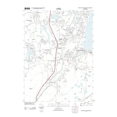
2013 Map of Cornwall-on-Hudson
USGS Topo · Published 2013About this map
Cornwall-on-Hudson sits prominently along the Hudson River on this 2013 survey, showcasing a landscape where historical industry and modern settlement intersect. The map detail highlights the riverfront character of Cornwall Landing and the inland industrial roots of Orrs Mill and Salisbury Mills. To the south, the terrain rises sharply toward Schunnemunk Mountain and Whitehorse Mountain, framing a valley corridor that has long served as a vital transportation route.
Find a feature on this map
314 named features on this map. Tap any name to fly to it.
Don’t see what you’re looking for? This feature index may not catch every label — zoom into the map to look around manually.
Map Details
Editions of this 2013 Cornwall-on-Hudson Map
This is the sole edition of this map. No revisions or reprints were ever made.
Other maps of this area

1892 · West Point
USGS Topo · 1:62,500

1893 · Poughkeepsie
USGS Topo · 1:62,500

1894 · West Point
USGS Topo · 1:62,500

1894 · Poughkeepsie
USGS Topo · 1:62,500

1899 · West Point
USGS Topo · 1:62,500

1901 · West Point
USGS Topo · 1:62,500

1902 · Schunemunk
USGS Topo · 1:62,500

1903 · Poughkeepsie
USGS Topo · 1:62,500

1903 · Newburg
USGS Topo · 1:62,500

1930 · Schunemunk
USGS Topo · 1:48,000