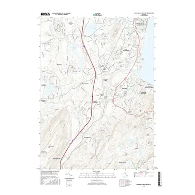
2016 Map of Cornwall-on-Hudson
USGS Topo · Published 2016About this map
The Hudson River's western bank is defined by the intersection of industrial legacies and military geography in this modern topographic study. Newburgh and New Windsor occupy the northern reaches, where the Mill Street Bridge and Quassaick Creek mark the historic urban fabric. To the south, the landscape shifts toward the high ground of the Hudson Highlands, anchored by the northern extent of West Point and the towering heights of Schunemunk Mountain and Black Rock. The presence of several distinct cemeteries, including Saint Thomas Cemetery and Woodlawn Cemetery, offers critical reference points for genealogists tracking family lineages in Firthcliffe and Cornwall-on-Hudson.
Find a feature on this map
78 named features on this map. Tap any name to fly to it.
Don’t see what you’re looking for? This feature index may not catch every label — zoom into the map to look around manually.
Map Details
Editions of this 2016 Cornwall-on-Hudson Map
This is the sole edition of this map. No revisions or reprints were ever made.
Other maps of this area

1892 · West Point
USGS Topo · 1:62,500

1893 · Poughkeepsie
USGS Topo · 1:62,500

1894 · West Point
USGS Topo · 1:62,500

1894 · Poughkeepsie
USGS Topo · 1:62,500

1899 · West Point
USGS Topo · 1:62,500

1901 · West Point
USGS Topo · 1:62,500

1902 · Schunemunk
USGS Topo · 1:62,500

1903 · Poughkeepsie
USGS Topo · 1:62,500

1903 · Newburg
USGS Topo · 1:62,500

1930 · Schunemunk
USGS Topo · 1:48,000