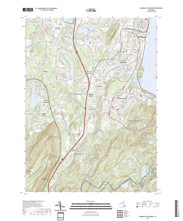
2023 Map of Cornwall-on-Hudson
USGS Topo · Published 2023About this map
Moodna Creek carves a path through this Hudson Valley landscape, connecting several distinct residential and industrial clusters. The waterway passes through Salisbury Mills and Orrs Mill, highlighting the historical reliance on local hydraulic power. To the north, the sprawling grounds of Stewart International Airport dominate the terrain near Little Britain, while the eastern edge is defined by the high elevations of Sloop Hill and Plum Point along the Hudson River.
Find a feature on this map
75 named features on this map. Tap any name to fly to it.
Don’t see what you’re looking for? This feature index may not catch every label — zoom into the map to look around manually.
Map Details
Editions of this 2023 Cornwall-on-Hudson Map
This is the sole edition of this map. No revisions or reprints were ever made.
Other maps of this area

1892 · West Point
USGS Topo · 1:62,500

1893 · Poughkeepsie
USGS Topo · 1:62,500

1894 · West Point
USGS Topo · 1:62,500

1894 · Poughkeepsie
USGS Topo · 1:62,500

1899 · West Point
USGS Topo · 1:62,500

1901 · West Point
USGS Topo · 1:62,500

1902 · Schunemunk
USGS Topo · 1:62,500

1903 · Poughkeepsie
USGS Topo · 1:62,500

1903 · Newburg
USGS Topo · 1:62,500

1930 · Schunemunk
USGS Topo · 1:48,000