2024 Map of Corozal
USGS Topo · Published 2024About this map
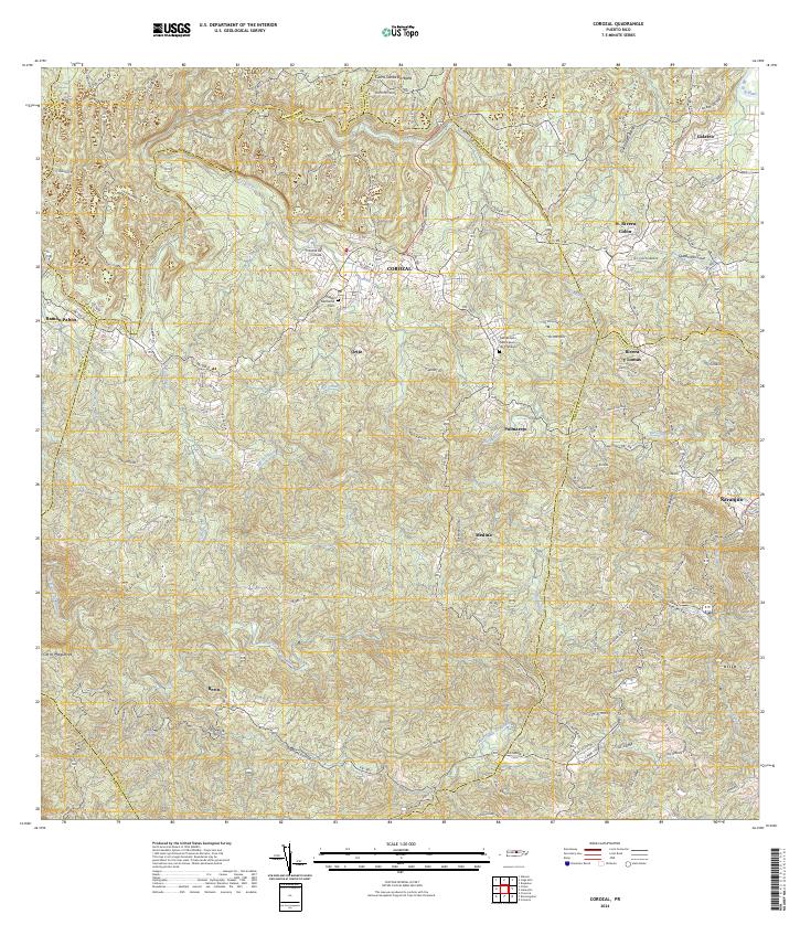
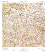
Corozal sits at the heart of this interior landscape, where the Rio Corozal and its tributaries carve deep through the Montañas de Corozal. The 2024 survey captures a network of rural settlements and neighborhoods including Palmarejo, Medina, and Galateo, connected by winding routes like Carr 159. The drainage patterns are particularly intricate here, with the Rio Mavilla and Rio Cibuco shaping the northern valleys while the Rio Grande de Manatí defines the southern reaches. Local landmarks such as the Tribunal de Corozal and the Cementerio Municipal de Corozal anchor the urban center, while the surrounding hills are marked by high points like Cerro Santa Bárbara and Cerro Magueyes. The map reveals a transition from the structured town center to the dispersed agricultural and residential patterns of the surrounding wards.
Find a feature on this map
42 named features on this map. Tap any name to fly to it.
Don’t see what you’re looking for? This feature index may not catch every label — zoom into the map to look around manually.
Map Details
Editions of this 2024 Corozal Map
This is the sole edition of this map. No revisions or reprints were ever made.
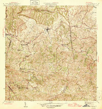
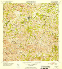
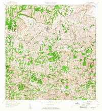
Historical Maps of Veredas del Río II Through Time
5 maps found
Featured Locations
- Sector El Winche, Toa Alta
- Reparto Los Cocos, Toa Alta
- Benito Nieves (Los Quiles), Naranjito
- Comunidad Santa Teresita, Naranjito
- Corozal, Corozal