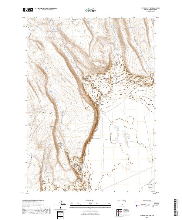
2023 Map of Corporation Rim
USGS Topo · Published 2023About this map
Corporation Rim and Three-Story Rim define the vertical relief of this high-desert landscape in Harney County, where drainage systems like Bacon Camp Draw and Mocs Draw cut through the terrain. The presence of numerous water management features, such as Wagon Reservoir, Knob Reservoir, and the Bacon Camp Waterhole, speaks to the critical importance of water for ranching and survival in this arid environment. In the southern reach of the survey, the land descends into the Warner Valley near Corporation Lake, while the north is marked by the Red Bank Lakes. This modern data shows a complex network of forest development roads, including Nat For Dev Rd 6155, which provide access to remote landmarks like Black Cap and Little Steamboat Point.
Find a feature on this map
24 named features on this map. Tap any name to fly to it.
Don’t see what you’re looking for? This feature index may not catch every label — zoom into the map to look around manually.
Map Details
Editions of this 2023 Corporation Rim Map
This is the sole edition of this map. No revisions or reprints were ever made.
Other maps of this area

1955 · Adel
USGS Topo · 1:250,000

1957 · Adel
USGS Topo · 1:250,000

1958 · Adel
USGS Topo · 1:250,000

1962 · Adel
USGS Topo · 1:250,000

1966 · Bluejoint Lake East
USGS Topo · 1:24,000

1966 · Rabbit Hills NE
USGS Topo · 1:24,000

1967 · Bluejoint Lake West
USGS Topo · 1:24,000

1971 · Steamboat Point
USGS Topo · 1:24,000

1971 · Rock Camp Draw
USGS Topo · 1:24,000
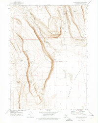
1971 · Corporation Rim
USGS Topo · 1:24,000