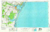
1966 Map of Corpus Christi
USGS Topo · Published 1966About this map
Corpus Christi serves as the focal point for this coastal mid-century survey, where the expanding city meets the complex waters of Corpus Christi Bay and Nueces Bay. The landscape is dominated by the sprawling King Ranch to the south and west, a massive expanse punctuated by numerous creeks like Petronila Creek and San Fernando Creek. Along the barrier islands, the map details the proximity of Padre Island and Mustang Island, noting several closed waterways including Corpus Christi Pass and Newport Pass.
Find a feature on this map
84 named features on this map. Tap any name to fly to it.
Don’t see what you’re looking for? This feature index may not catch every label — zoom into the map to look around manually.
Map Details
Editions of this 1966 Corpus Christi Map
This is the sole edition of this map. No revisions or reprints were ever made.
Other maps of this area
1917 · Ben Bolt
USGS Topo · 1:62,500
1920 · Mikeska
USGS Topo · 1:125,000
1920 · San Diego
USGS Topo · 1:62,500
1921 · Falfurrias
USGS Topo · 1:125,000
1923 · Armstrong
USGS Topo · 1:62,500
1923 · Lopena Island
USGS Topo · 1:62,500
1923 · Saltillo Ranch
USGS Topo · 1:62,500
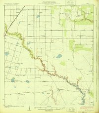
1924 · Petronilla
USGS Topo · 1:62,500
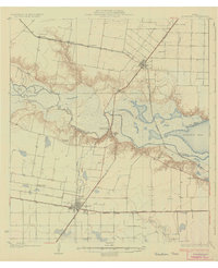
1925 · Robstown
USGS Topo · 1:62,500
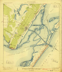
1925 · Aransas Pass
USGS Topo · 1:62,500