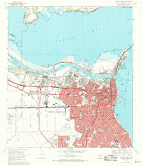
1968 Map of Corpus Christi
USGS Topo · Published 1971About this map
Corpus Christi is revealed as a bustling deep-water port and educational hub in this late-1960s survey. The landscape is defined by the heavy industrialization of the shoreline, with the Industrial Canal and the Main Turning Basin carving into the coast to serve oil and chemical interests. This era of growth is balanced by a dense network of neighborhood institutions, from the Del Mar College campus to numerous parochial schools like St Joseph Sch and Cathedral Sch.
Find a feature on this map
98 named features on this map. Tap any name to fly to it.
Don’t see what you’re looking for? This feature index may not catch every label — zoom into the map to look around manually.
Map Details
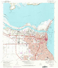
Editions of this 1968 Corpus Christi Map
2 editions found
Other maps of this area

1924 · Petronilla
USGS Topo · 1:62,500

1925 · Robstown
USGS Topo · 1:62,500

1925 · Oso Creek
USGS Topo · 1:62,500

1925 · Corpus Christi
USGS Topo · 1:62,500

1950 · Corpus Christi
USGS Topo · 1:250,000

1951 · Portland
USGS Topo · 1:24,000

1951 · Corpus Christi
USGS Topo · 1:24,000

1951 · Corpus Christi
USGS Topo · 1:62,500

1951 · Oso Creek NW
USGS Topo · 1:24,000

1951 · Oso Creek NE
USGS Topo · 1:24,000