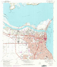
1968 Map of Corpus Christi
USGS Topo · Published 1977About this map
Corpus Christi's industrial and urban landscape is dominated by the deep-water channels and turning basins that define its mid-century economic reach. The shoreline along Nueces Bay and Corpus Christi Bay shows a complex network of maritime infrastructure, from the Industrial Canal to the Chemical Turning Basin. Inland, the city's growth is reflected in the dense grid of schools and neighborhoods, anchored by institutions like Del Mar College and the Spohn Hospital.
Find a feature on this map
94 named features on this map. Tap any name to fly to it.
Don’t see what you’re looking for? This feature index may not catch every label — zoom into the map to look around manually.
Map Details
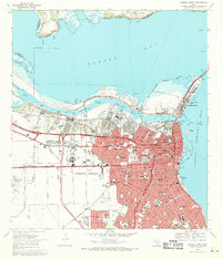
Editions of this 1968 Corpus Christi Map
2 editions found
Other maps of this area

1924 · Petronilla
USGS Topo · 1:62,500

1925 · Robstown
USGS Topo · 1:62,500

1925 · Oso Creek
USGS Topo · 1:62,500

1925 · Corpus Christi
USGS Topo · 1:62,500

1950 · Corpus Christi
USGS Topo · 1:250,000

1951 · Portland
USGS Topo · 1:24,000

1951 · Corpus Christi
USGS Topo · 1:24,000

1951 · Corpus Christi
USGS Topo · 1:62,500

1951 · Oso Creek NW
USGS Topo · 1:24,000

1951 · Oso Creek NE
USGS Topo · 1:24,000