
1951 Map of Corral Canyon
USGS Topo · Published 1955About this map
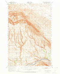
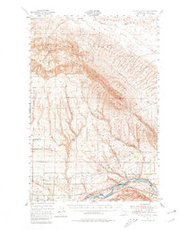
The Hanford Works (A. E. C.) dominates the northern reaches of this mid-century landscape, marking a period of intense federal and industrial presence in Benton County. The terrain transitions from the high ridges of the Rattlesnake Hills down through the Cold Creek Valley to the agricultural corridor along the Yakima River. The map captures a complex irrigation network essential for regional development, featuring the Roza Canal and the Sunnyside Canal (Abandoned), alongside the Irrigation Experiment Station.
Find a feature on this map
32 named features on this map. Tap any name to fly to it.
Don’t see what you’re looking for? This feature index may not catch every label — zoom into the map to look around manually.
Map Details
Editions of this 1951 Corral Canyon Map
3 editions found
Other maps of this area

1915 · Prosser
USGS Topo · 1:125,000

1916 · Coyote Rapids
USGS Topo · 1:62,500

1917 · Pasco
USGS Topo · 1:125,000

1917 · Priest Rapids
USGS Topo · 1:62,500

1917 · Prosser
USGS Topo · 1:125,000

1924 · Hanford
USGS Topo · 1:62,500

1948 · Emerson Nipple
USGS Topo · 1:24,000

1950 · Grandview
USGS Topo · 1:62,500

1951 · Priest Rapids
USGS Topo · 1:62,500

1951 · Grandview
USGS Topo · 1:62,500