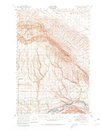
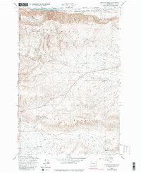
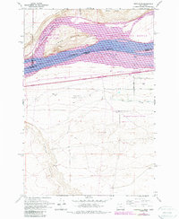
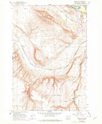
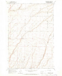
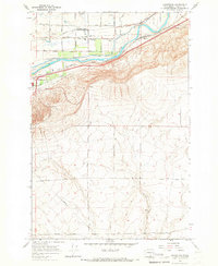
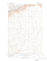
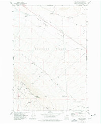
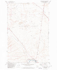
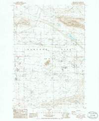
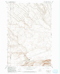
1951 Map of Corral Canyon
USGS Topo · Published 1980About this map
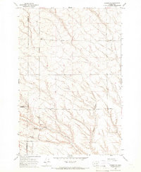
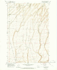
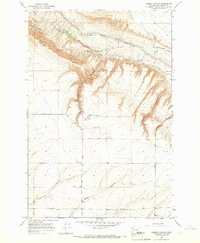
The Hanford Works (A. E. C.) dominates the northern reaches of this mid-century landscape, illustrating the restricted government presence in the Cold Creek Valley. This high desert terrain is defined by the steep elevation changes of the Rattlesnake Hills and Sagebrush Ridge, which transition south toward the agricultural developments along the Yakima River. Isolated rural life is evident in the scattered homesteads like Snively Ranch and Benson Ranch, alongside the Rattlesnake Grange. To the south, irrigation infrastructure including the Sunnyside Canal and the Roza Canal supports the Irrigation Experiment Station, marking the region's shift toward intensive cultivation. The Northern Pacific railroad tracks and the settlement at Chaffee (Old Glen) anchor the transport corridor at the base of Corral Canyon.
Find a feature on this map
22 named features on this map. Tap any name to fly to it.
Don’t see what you’re looking for? This feature index may not catch every label — zoom into the map to look around manually.
Map Details
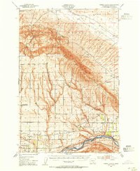
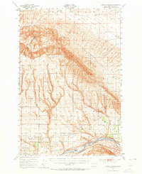
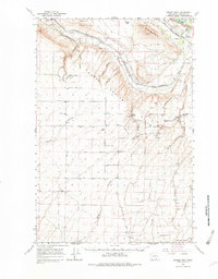
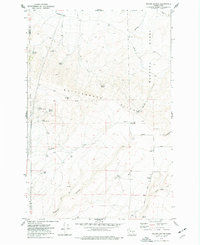
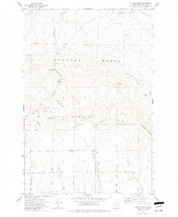
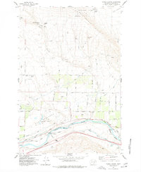
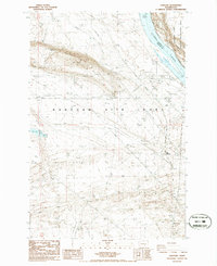
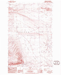
Editions of this 1951 Corral Canyon Map
3 editions found
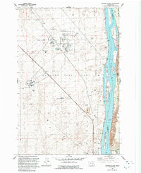
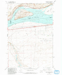
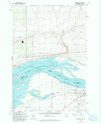
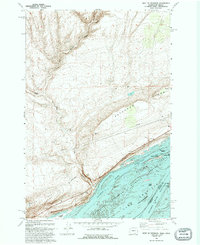
Historical Maps of Benton City Through Time
65 maps found
1916 Coyote Rapids
Benton County, WA
1948 Emerson Nipple
Benton County, WA
1951 Corral Canyon
Benton County, WA
1951 Coyote Rapids
Benton County, WA
1962 Blalock Island
Benton County, WA
1962 Canoe Ridge
Benton County, WA
1962 Crow Butte
Benton County, WA
1962 Paterson
Benton County, WA
1964 Johnson Butte
Benton County, WA
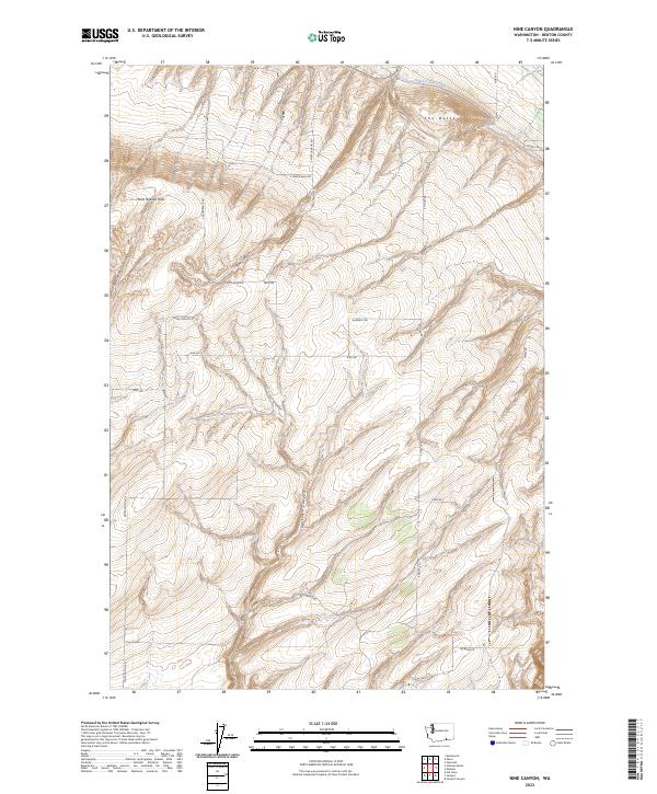
1964 Nine Canyon
Benton County, WA
1965 Badger Mtn
Benton County, WA
1965 Badger Mtn
Benton County, WA
1965 Coyote Rapids
Benton County, WA
1965 Lenzie Ranch
Benton County, WA
1965 Prior Ranch
Benton County, WA
1965 Prosser SE
Benton County, WA
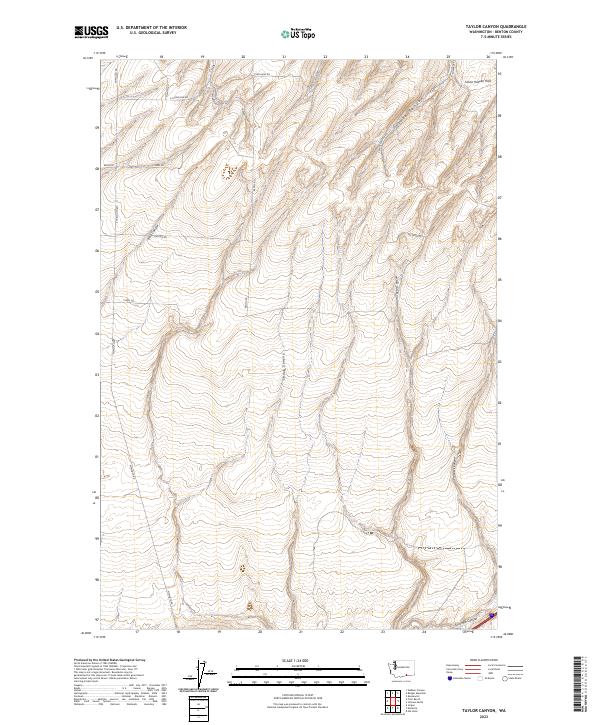
1965 Taylor Canyon
Benton County, WA
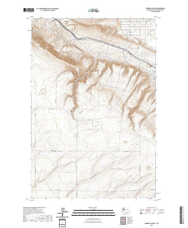
1965 Weber Canyon
Benton County, WA
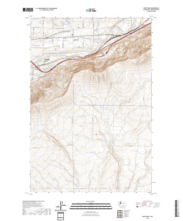
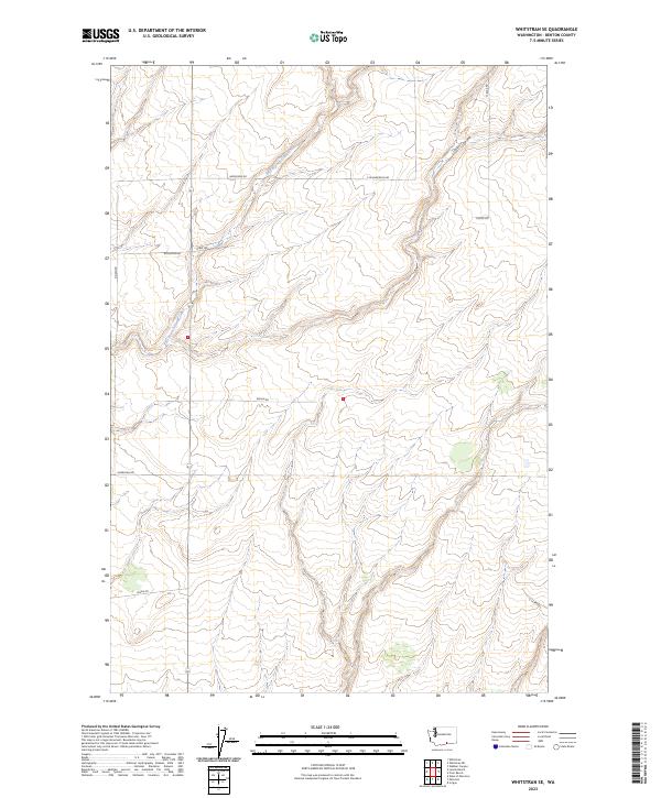
1965 Whitstran
Benton County, WA
1965 Whitstran
Benton County, WA
1965 Whitstran NE
Benton County, WA
1965 Whitstran SE
Benton County, WA
1974 Iowa Flats
Benton County, WA
1974 Maiden Spring
Benton County, WA
1974 Snively Basin
Benton County, WA
1977 Corral Canyon
Benton County, WA
1977 Horn Rapids Dam
Benton County, WA
1977 Snipes Creek
Benton County, WA
1978 Wooden Island
Benton County, WA
1979 Sagebrush Ridge
Benton County, WA
1986 Gable Butte
Benton County, WA
1986 Hanford
Benton County, WA
1986 Riverland
Benton County, WA
1992 Wooden Island
Benton County, WA
1993 Canoe Ridge
Benton County, WA
1993 Crow Butte
Benton County, WA
1993 Paterson
Benton County, WA
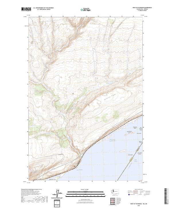
1993 West of Paterson
Benton County, WA
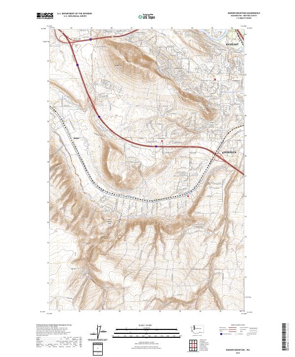
2023 Badger Mountain
Benton County, WA
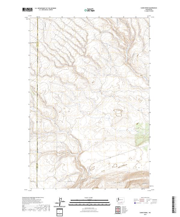
2023 Canoe Ridge
Benton County, WA
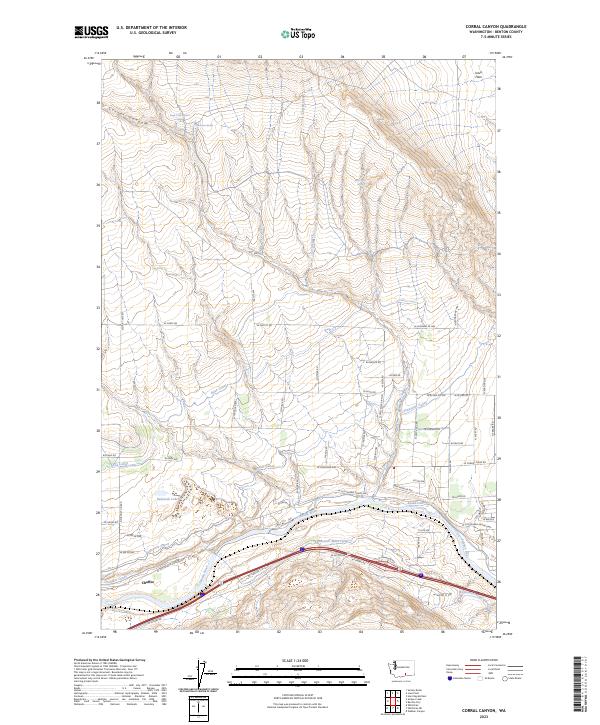
2023 Corral Canyon
Benton County, WA
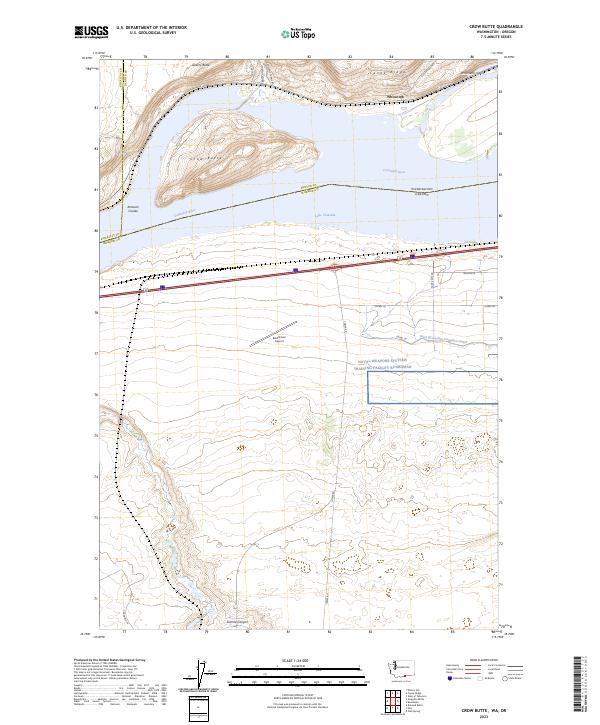
2023 Crow Butte
Benton County, WA
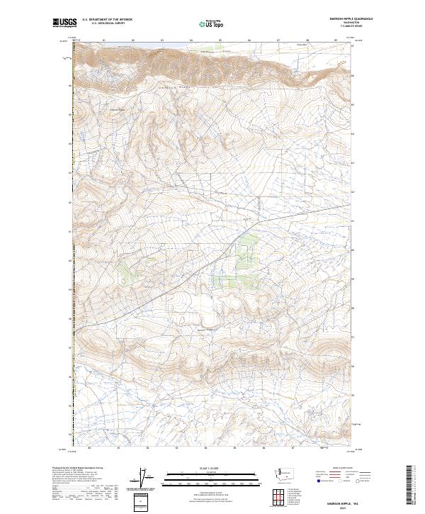
2023 Emerson Nipple
Benton County, WA
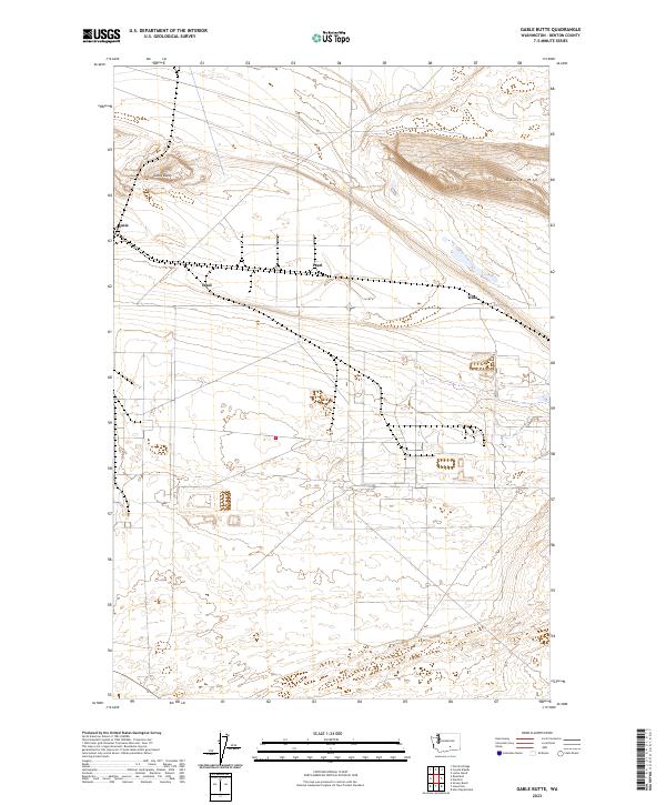
2023 Gable Butte
Benton County, WA
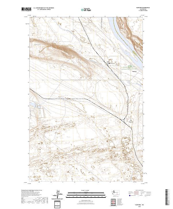
2023 Hanford
Benton County, WA
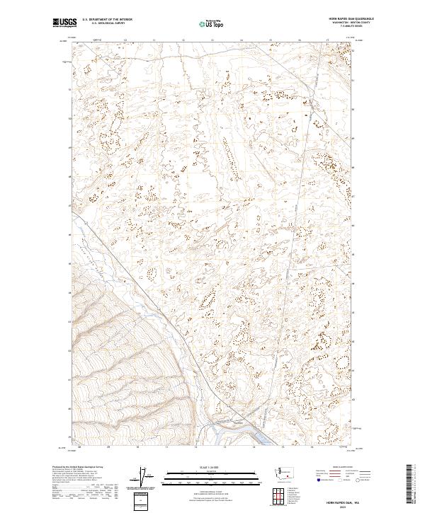
2023 Horn Rapids Dam
Benton County, WA
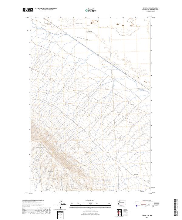
2023 Iowa Flats
Benton County, WA
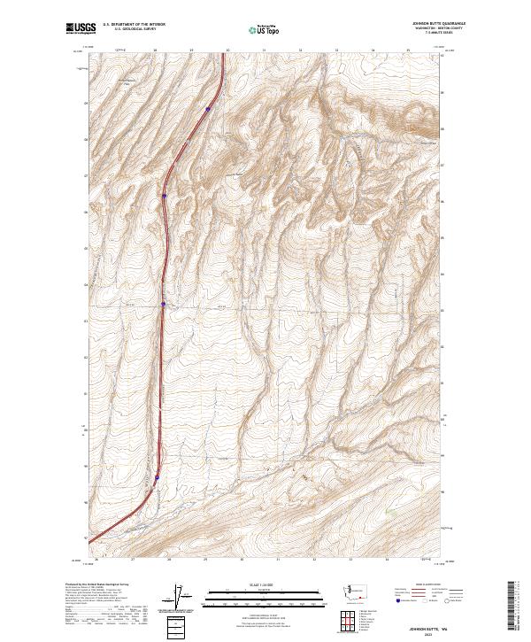
2023 Johnson Butte
Benton County, WA
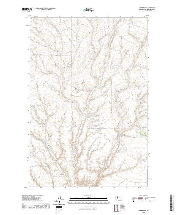
2023 Lenzie Ranch
Benton County, WA
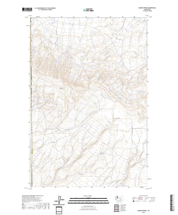
2023 Maiden Spring
Benton County, WA
2023 Nine Canyon
Benton County, WA
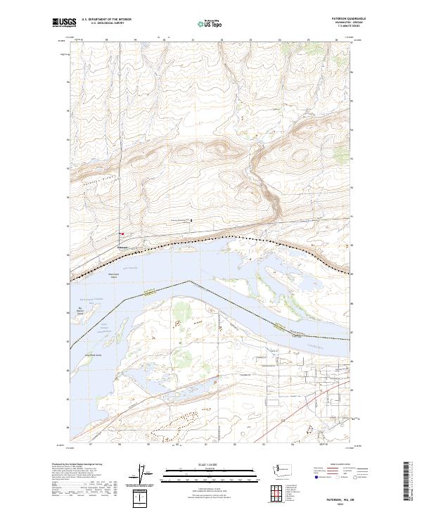
2023 Paterson
Benton County, WA
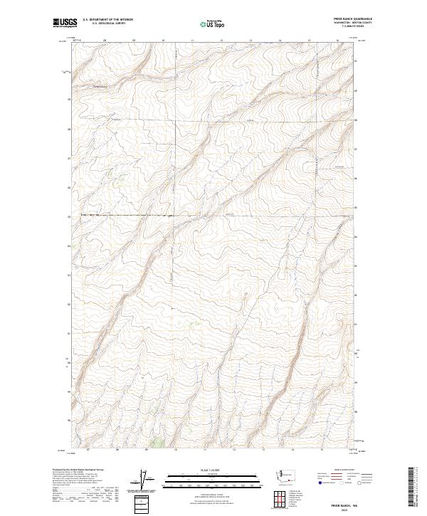
2023 Prior Ranch
Benton County, WA
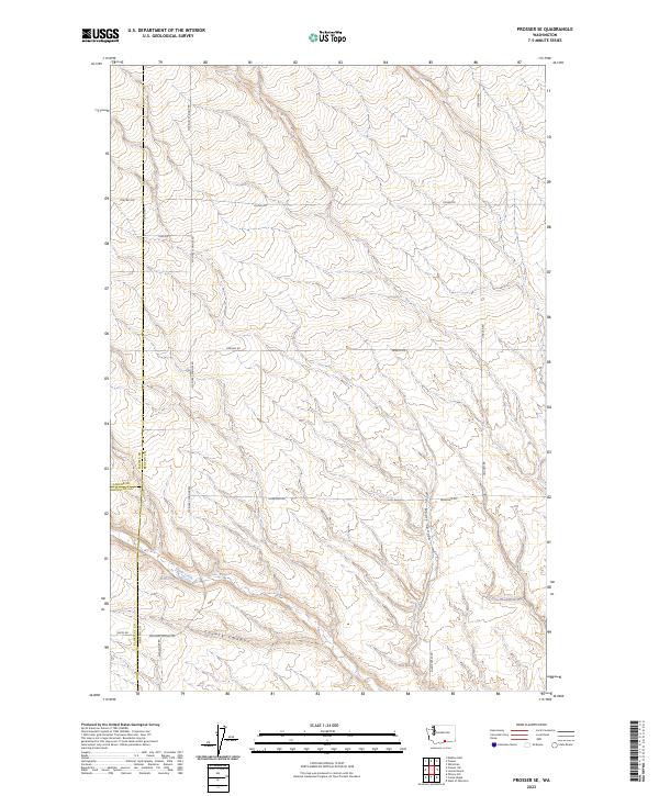
2023 Prosser SE
Benton County, WA
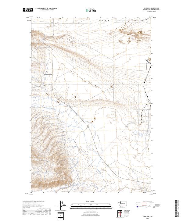
2023 Riverland
Benton County, WA
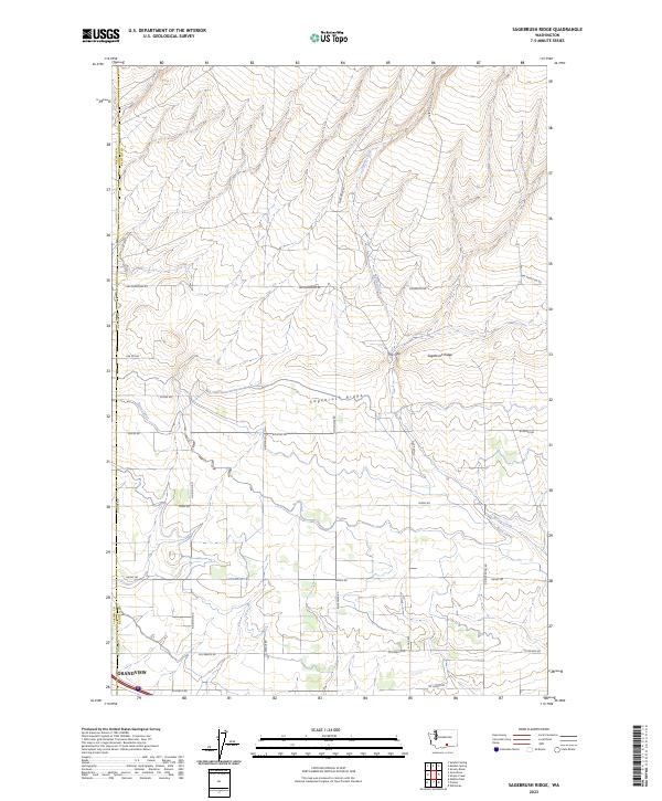
2023 Sagebrush Ridge
Benton County, WA
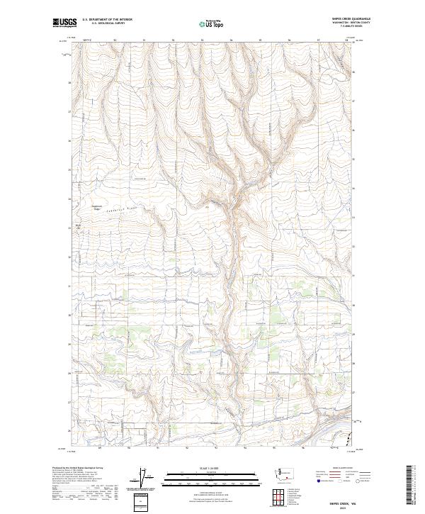
2023 Snipes Creek
Benton County, WA
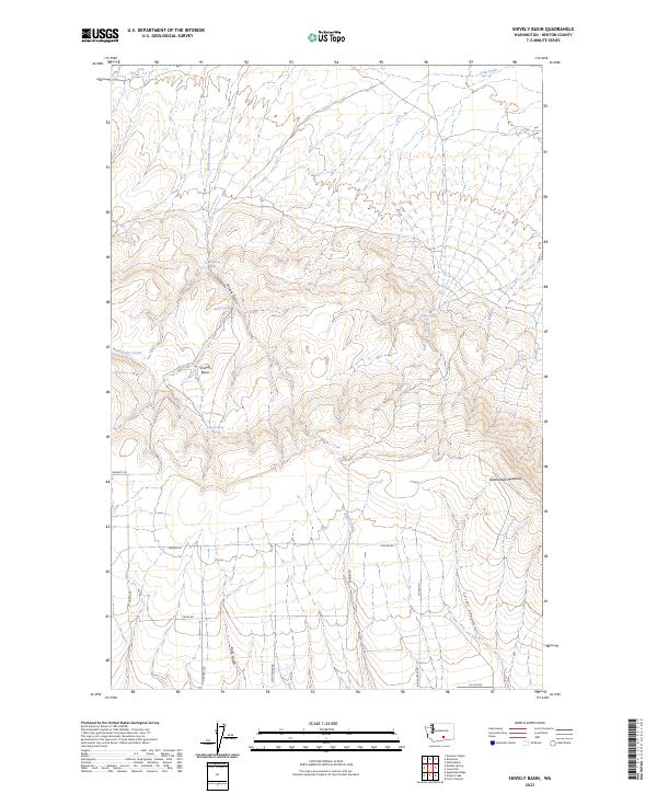
2023 Snively Basin
Benton County, WA
2023 Taylor Canyon
Benton County, WA
2023 Webber Canyon
Benton County, WA
2023 West of Paterson
Benton County, WA
2023 Whitstran
Benton County, WA

2023 Whitstran NE
Benton County, WA
2023 Whitstran SE
Benton County, WA
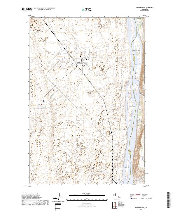
2023 Wooded Island
Benton County, WA