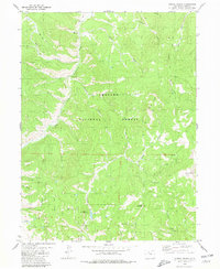
1980 Map of Corral Peaks
USGS Topo · Published 1980About this map
Arapaho National Forest dominates this landscape of the High Rockies, where 1970s land use reflects a mix of traditional ranching and remote mountain infrastructure. The central corridor is defined by Troublesome Creek and its many tributaries, including Wheatley Creek and Ethel Creek. Historical ranching operations are anchored by the Wheatley Ranch and the East Fork Cow Camp to the north, suggesting the seasonal movement of livestock through these high-altitude drainage basins.
Find a feature on this map
36 named features on this map. Tap any name to fly to it.
Don’t see what you’re looking for? This feature index may not catch every label — zoom into the map to look around manually.
Map Details
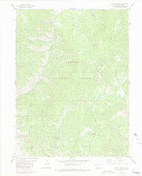
Editions of this 1980 Corral Peaks Map
2 editions found
Other maps of this area

1954 · Craig
USGS Topo · 1:250,000

1956 · Radial Mountain
USGS Topo · 1:24,000

1956 · Kremmling
USGS Topo · 1:62,500

1956 · Parkview Mountain
USGS Topo · 1:24,000

1956 · Hyannis Peak
USGS Topo · 1:24,000

1956 · Hyannis Peak
USGS Topo · 1:62,500

1956 · Rand
USGS Topo · 1:62,500

1957 · Craig
USGS Topo · 1:250,000

1957 · Hot Sulphur Springs
USGS Topo · 1:62,500

1958 · Craig
USGS Topo · 1:250,000