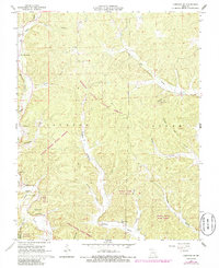
1967 Map of Corridon SE
USGS Topo · Published 1985About this map
Logan Creek State Forest and Dickens Valley State Forest dominate this section of the Ozark Highlands, where the landscape is defined by deep hollows and timbered ridges. The settlement of Dickens serves as a small focal point near the confluence of Dickens Valley and Schrum Hollow, while the surrounding terrain is marked by family-named landmarks and historical sites. A Lookout Tower on Panther Hill overlooks the winding course of Logan Creek, providing a clear view of the region's topographical complexity.
Find a feature on this map
37 named features on this map. Tap any name to fly to it.
Don’t see what you’re looking for? This feature index may not catch every label — zoom into the map to look around manually.
Map Details
Editions of this 1967 Corridon SE Map
2 editions found
Other maps of this area

1928 · Cardareva
USGS Topo · 1:62,500

1943 · Ellington
USGS Topo · 1:62,500

1943 · Lesterville
USGS Topo · 1:62,500

1944 · Corridon
USGS Topo · 1:62,500

1945 · Ellington
USGS Topo · 1:62,500

1946 · Lesterville
USGS Topo · 1:62,500

1947 · Corridon
USGS Topo · 1:62,500

1949 · Rolla
USGS Topo · 1:250,000

1949 · Cardareva
USGS Topo · 1:62,500

1953 · Rolla
USGS Topo · 1:250,000