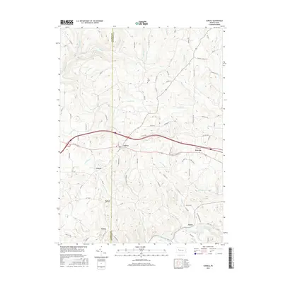
2016 Map of Corsica
USGS Topo · Published 2016About this map
The borough of Corsica and the adjacent village of Roseville serve as central points in this 2016 survey of the Clarion and Jefferson County line. This landscape is defined by the deeply etched drainage systems of Redbank Creek and Mill Cr, which dictate the placement of early settlements and road networks. To the south, the community of Baxter sits along the creek, while smaller hamlets like Holden, Sutton, and Harlan are positioned along upland ridges and secondary routes like Swineford Rd and Toadtown Rd.
Find a feature on this map
77 named features on this map. Tap any name to fly to it.
Don’t see what you’re looking for? This feature index may not catch every label — zoom into the map to look around manually.
Map Details
Editions of this 2016 Corsica Map
This is the sole edition of this map. No revisions or reprints were ever made.
Other maps of this area

1906 · Clarion
USGS Topo · 1:62,500

1907 · Clarion
USGS Topo · 1:62,500

1918 · Loleta
USGS Topo · 1:62,500

1922 · Tionesta
USGS Topo · 1:62,500

1924 · Tionesta
USGS Topo · 1:62,500

1924 · Brookville
USGS Topo · 1:62,500

1926 · Brookville
USGS Topo · 1:62,500

1936 · Marienville
USGS Topo · 1:48,000

1941 · Marienville
USGS Topo · 1:62,500

1944 · Brookville
USGS Topo · 1:62,500