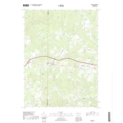
2019 Map of Corsica
USGS Topo · Published 2019About this map
Corsica and Roseville anchor the central portion of this survey, where the Old State S road and other historical thoroughfares intersect the higher ground between the Clarion and Jefferson County line. The settlement pattern here is closely tied to the topography, with villages such as Sutton, Holden, and Harlan positioned near drainage divides and small stream valleys. Genealogists will find several notable burial sites throughout the township, including Pisgah Cem, Saint Ann Catholic Cem, and the Mount Pleasant Independent Cem. To the south, the terrain descends toward the banks of Redbank Creek, which is joined by local tributaries like Welch Run and Simpson Run. The map provides a contemporary view of these established communities, illustrating the enduring road networks and land use in this part of western Pennsylvania.
Find a feature on this map
109 named features on this map. Tap any name to fly to it.
Don’t see what you’re looking for? This feature index may not catch every label — zoom into the map to look around manually.
Map Details
Editions of this 2019 Corsica Map
This is the sole edition of this map. No revisions or reprints were ever made.
Other maps of this area

1906 · Clarion
USGS Topo · 1:62,500

1907 · Clarion
USGS Topo · 1:62,500

1918 · Loleta
USGS Topo · 1:62,500

1922 · Tionesta
USGS Topo · 1:62,500

1924 · Tionesta
USGS Topo · 1:62,500

1924 · Brookville
USGS Topo · 1:62,500

1926 · Brookville
USGS Topo · 1:62,500

1936 · Marienville
USGS Topo · 1:48,000

1941 · Marienville
USGS Topo · 1:62,500

1944 · Brookville
USGS Topo · 1:62,500