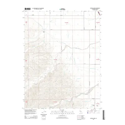
2015 Map of Cortina Creek
USGS Topo · Published 2015About this map
Spring Valley serves as a distinct transitional landscape on this 2015 map, where the western foothills meet the broad agricultural expanses of the Sacramento Valley. The area is defined by an extensive network of water management, most notably the Tehama Colusa Canal and the Glenn-Colusa Canal, which cut across the terrain to support regional irrigation. These man-made waterways intersect natural drainages like Cortina Creek and Spring Cr, illustrating the complex engineering required to manage water in this part of California.
Find a feature on this map
41 named features on this map. Tap any name to fly to it.
Don’t see what you’re looking for? This feature index may not catch every label — zoom into the map to look around manually.
Map Details
Editions of this 2015 Cortina Creek Map
This is the sole edition of this map. No revisions or reprints were ever made.
Other maps of this area

1905 · Harrington
USGS Topo · 1:24,000

1905 · Fairview
USGS Topo · 1:24,000

1907 · Colusa
USGS Topo · 1:62,500

1916 · Harrington
USGS Topo · 1:31,680

1918 · Williams
USGS Topo · 1:31,680

1918 · Spring Valley
USGS Topo · 1:31,680
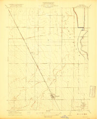
1918 · Arbuckle
USGS Topo · 1:31,680
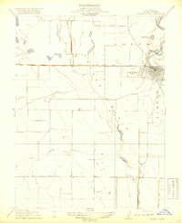
1918 · Powell Slough
USGS Topo · 1:31,680

1920 · Venado
USGS Topo · 1:62,500

1942 · Colusa
USGS Topo · 1:62,500