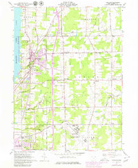
1961 Map of Cortland
USGS Topo · Published 1980About this map
Mosquito Creek Lake State Park and the burgeoning community of Cortland define this corner of Trumbull County during the mid-20th century. The map illustrates a landscape transitioning from traditional rural crossroads to suburban development, with several family-named landmarks such as Kellogg Corners, Sheldon Corners, and Chadwick Corners still anchoring the local geography. Significant infrastructure including the Youngstown Municipal Airport and the Conrail rail line highlights the region's importance as a transportation hub for Northeast Ohio.
Find a feature on this map
59 named features on this map. Tap any name to fly to it.
Don’t see what you’re looking for? This feature index may not catch every label — zoom into the map to look around manually.
Map Details
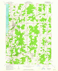
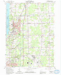
Editions of this 1961 Cortland Map
3 editions found
Other maps of this area

1905 · Bristolville
USGS Topo · 1:62,500

1906 · Youngstown
USGS Topo · 1:62,500

1907 · Kinsman
USGS Topo · 1:62,500

1907 · Bristolville
USGS Topo · 1:62,500

1908 · Youngstown
USGS Topo · 1:62,500

1908 · Warren
USGS Topo · 1:62,500

1950 · Cleveland
USGS Topo · 1:250,000

1954 · Sharon West
USGS Topo · 1:24,000

1954 · Girard
USGS Topo · 1:24,000

1956 · Cleveland
USGS Topo · 1:250,000