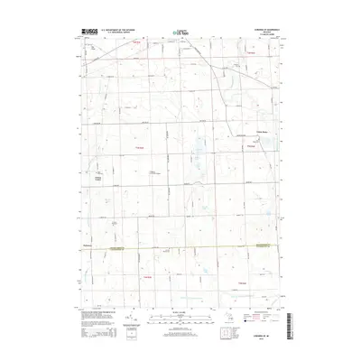
2014 Map of Corunna SE
USGS Topo · Published 2014About this map
Antrim Center and the surrounding agricultural landscape define this portion of the Michigan countryside along the Shiawassee Co and Livingston Co border. The terrain is notably marked by glacial features, including numerous small water bodies such as Aginaw Lake, Rose Lake, and Euler Lake, as well as the low-lying Hog Island in the northwest. The drainage patterns of the Looking Glass River and Shiawassee River crisscross the area, supported by man-made improvements like the Conway Cohoctah Union Drain.
Find a feature on this map
85 named features on this map. Tap any name to fly to it.
Don’t see what you’re looking for? This feature index may not catch every label — zoom into the map to look around manually.
Map Details
Editions of this 2014 Corunna SE Map
This is the sole edition of this map. No revisions or reprints were ever made.
Other maps of this area

1907 · Howell
USGS Topo · 1:62,500

1908 · Fowlerville
USGS Topo · 1:62,500

1909 · Howell
USGS Topo · 1:62,500

1910 · Fowlerville
USGS Topo · 1:62,500

1922 · Durand
USGS Topo · 1:62,500

1926 · Corunna
USGS Topo · 1:62,500

1929 · Corunna
USGS Topo · 1:62,500

1943 · Durand
USGS Topo · 1:62,500

1944 · Corunna
USGS Topo · 1:62,500

1954 · Detroit
USGS Topo · 1:250,000