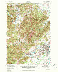
1956 Map of Corvallis
USGS Topo · Published 1972About this map
Oregon State College anchors the growing city of Corvallis in this mid-century survey, showing the campus layout and the expansion of residential blocks toward Avery Park. The landscape follows the drainage of the Marys River and Muddy Creek, which define the agricultural valleys and timbered heights of the Coast Range foothills. To the west, the lumber-and-farm economy is evident in smaller hubs like Philomath and Kings Valley, where the Southern Pacific railroad remains a primary transit artery.
Find a feature on this map
57 named features on this map. Tap any name to fly to it.
Don’t see what you’re looking for? This feature index may not catch every label — zoom into the map to look around manually.
Map Details
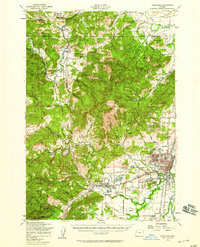
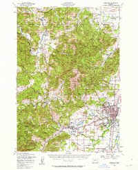
Editions of this 1956 Corvallis Map
3 editions found
Other maps of this area

1911 · Inavale
USGS Topo · 1:31,680

1912 · Halsey
USGS Topo · 1:62,500

1913 · Philomath
USGS Topo · 1:31,680

1913 · Oakville
USGS Topo · 1:31,680

1913 · Wells
USGS Topo · 1:31,680

1914 · Independence
USGS Topo · 1:31,680

1914 · Soap Creek
USGS Topo · 1:31,680

1916 · Albany
USGS Topo · 1:62,500

1917 · Salem
USGS Topo · 1:62,500

1921 · Corvallis
USGS Topo · 1:62,500