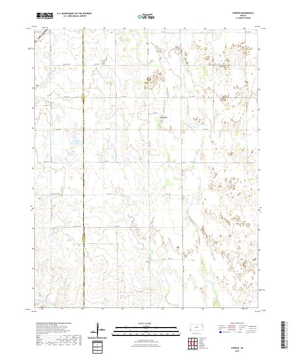
2022 Map of Corwin
USGS Topo · Published 2022About this map
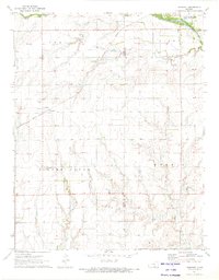
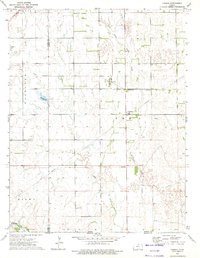
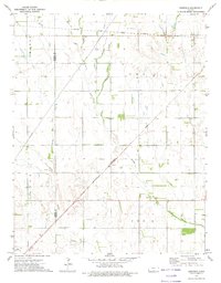
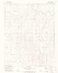
Corwin stands as a central point of interest in this rural landscape at the border of Barber and Harper counties. The terrain is defined by the winding paths of Salty Cr and Little Sandy Cr, which flow through a grid-dominated prairie environment. In the southern reach of the quadrangle, the Medicine Lodge River carves a wider valley, contrasting with the smaller creek beds to the north.
Find a feature on this map
36 named features on this map. Tap any name to fly to it.
Don’t see what you’re looking for? This feature index may not catch every label — zoom into the map to look around manually.
Map Details
Editions of this 2022 Corwin Map
This is the sole edition of this map. No revisions or reprints were ever made.
Historical Maps of Harper County Through Time
18 maps found
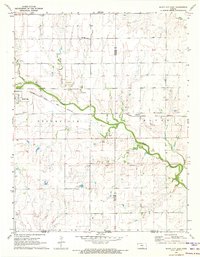
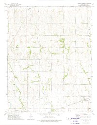
1971 Bluff City East
Harper County, KS
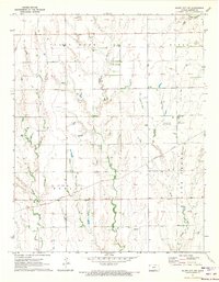
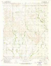
1971 Bluff City NW
Harper County, KS
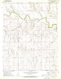
1971 Bluff City West
Harper County, KS
1971 Freeport
Harper County, KS
1972 Corwin
Harper County, KS
1972 Crisfield
Harper County, KS
1972 Spring
Harper County, KS
1973 Crystal Springs
Harper County, KS
1973 Zenda SE
Harper County, KS
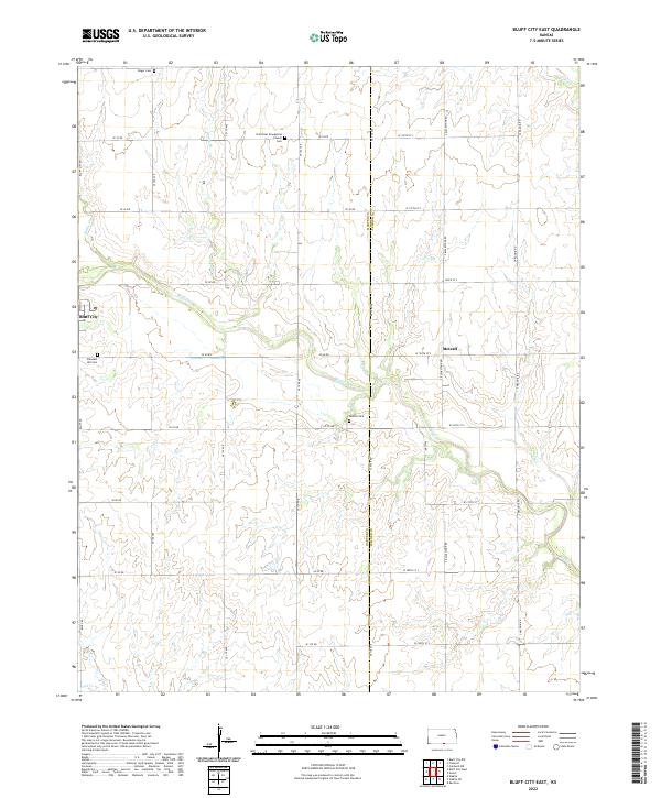
2022 Bluff City East
Harper County, KS
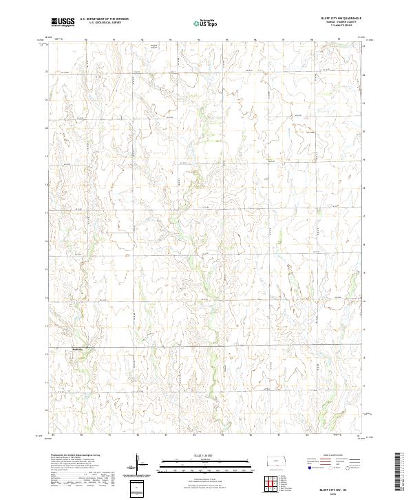
2022 Bluff City NW
Harper County, KS
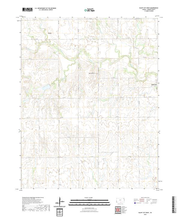
2022 Bluff City West
Harper County, KS
2022 Corwin
Harper County, KS
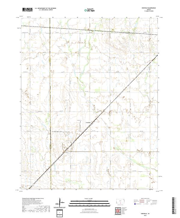
2022 Crisfield
Harper County, KS
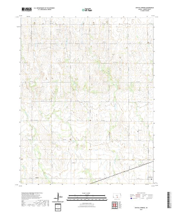
2022 Crystal Springs
Harper County, KS
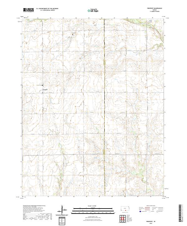
2022 Freeport
Harper County, KS
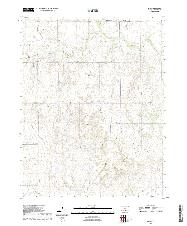
2022 Spring
Harper County, KS
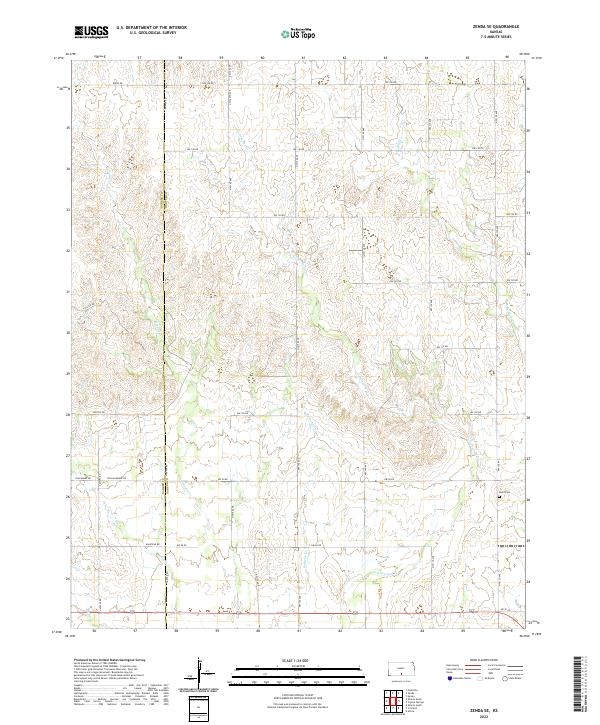
2022 Zenda SE
Harper County, KS