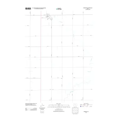
2013 Map of Corwith
USGS Topo · Published 2013About this map
Corwith and the surrounding agricultural landscape of Hancock County are defined by a precision grid of section roads and the winding course of the Boone River. This survey illustrates the town's layout, centered on a network of residential and commercial streets including Wayne St, Clinton St, and Se Elm St. To the south, the settlement of Aldrich sits near the river, marking a smaller point of activity along the county's rural corridors.
Find a feature on this map
29 named features on this map. Tap any name to fly to it.
Don’t see what you’re looking for? This feature index may not catch every label — zoom into the map to look around manually.
Map Details
Editions of this 2013 Corwith Map
This is the sole edition of this map. No revisions or reprints were ever made.
Other maps of this area

1954 · Fairmont
USGS Topo · 1:250,000

1954 · Mason City
USGS Topo · 1:250,000

1954 · Waterloo
USGS Topo · 1:250,000

1954 · Fort Dodge
USGS Topo · 1:250,000

1955 · Waterloo
USGS Topo · 1:250,000

1957 · Fort Dodge
USGS Topo · 1:250,000

1957 · Mason City
USGS Topo · 1:250,000

1958 · Mason City
USGS Topo · 1:250,000

1958 · Fort Dodge
USGS Topo · 1:250,000

1958 · Fairmont
USGS Topo · 1:250,000