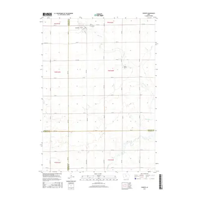
2015 Map of Corwith
USGS Topo · Published 2015About this map
Corwith sits at the northern edge of this agricultural landscape, where the township grid meets the meandering path of the Boone River. The settlement is defined by its concentrated street plan, including Clinton St and Standring St, serving as a localized hub near the borders of Hancock, Kossuth, Wright, and Humboldt counties. The surrounding terrain is primarily organized by a rigid network of county roads such as Co Hwy B55 and Ames Ave, which partition the land into large sections typical of Iowa's prairie-turned-farmland. Genealogists will find significant local history at the Saint Marys Cem and Corwith Cem just east of the town center, while the Magor Township Cem stands as a lonely landmark further south. The map illustrates the dominance of the river valley's natural drainage against the engineered regularity of the rural road system.
Find a feature on this map
42 named features on this map. Tap any name to fly to it.
Don’t see what you’re looking for? This feature index may not catch every label — zoom into the map to look around manually.
Map Details
Editions of this 2015 Corwith Map
This is the sole edition of this map. No revisions or reprints were ever made.
Other maps of this area

1954 · Fairmont
USGS Topo · 1:250,000

1954 · Mason City
USGS Topo · 1:250,000

1954 · Waterloo
USGS Topo · 1:250,000

1954 · Fort Dodge
USGS Topo · 1:250,000

1955 · Waterloo
USGS Topo · 1:250,000

1957 · Fort Dodge
USGS Topo · 1:250,000

1957 · Mason City
USGS Topo · 1:250,000

1958 · Mason City
USGS Topo · 1:250,000

1958 · Fort Dodge
USGS Topo · 1:250,000

1958 · Fairmont
USGS Topo · 1:250,000