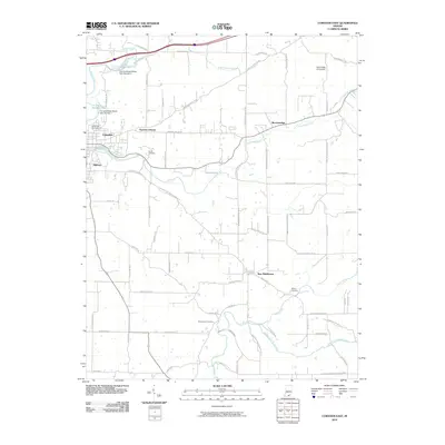
2010 Map of Corydon East
USGS Topo · Published 2010About this map
Little Indian Creek meanders through the heart of this landscape, connecting the outskirts of Corydon to the smaller settlements of Breckenridge and New Middletown. This region of Harrison County is defined by its network of rural crossroads and persistent water features, including the Corydon Water Works Dam Number 1 and Miles Spring. The map is particularly useful for genealogical research, documenting numerous burial grounds such as Cedar Hill Cemetery and the more remote Musselman Cemetery.
Find a feature on this map
74 named features on this map. Tap any name to fly to it.
Don’t see what you’re looking for? This feature index may not catch every label — zoom into the map to look around manually.
Map Details
Editions of this 2010 Corydon East Map
This is the sole edition of this map. No revisions or reprints were ever made.
Other maps of this area

1909 · Kosmosdale
USGS Topo · 1:48,000

1912 · Kosmosdale
USGS Topo · 1:62,500

1931 · Corydon
USGS Topo · 1:62,500

1939 · Georgetown
USGS Topo · 1:24,000

1944 · Corydon West
USGS Topo · 1:24,000

1946 · Depauw
USGS Topo · 1:24,000

1947 · Georgetown
USGS Topo · 1:24,000

1947 · Corydon West
USGS Topo · 1:24,000

1947 · Mauckport
USGS Topo · 1:24,000

1948 · Corydon East
USGS Topo · 1:24,000