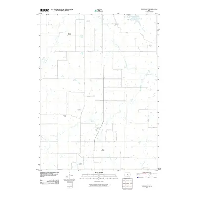
2010 Map of Corydon NE
USGS Topo · Published 2010About this map
The Chariton River meanders across this rural Iowa landscape south of Chariton, carving a path through the rolling agricultural terrain of Lucas and Wayne Counties. In the early 21st century, the area maintains a sparse settlement pattern anchored by small community nodes like Freedom Camp and the rail-aligned locations of Watrous and Vale. The map reveals a dense network of country burial grounds that serve as vital touchstones for local genealogy, including Douglass Cemetery, Waynick Cemetery, and Salem Cemetery in the north, along with Freedom Cemetery, Sharon Cemetery, and Ryan Cemetery further south.
Find a feature on this map
52 named features on this map. Tap any name to fly to it.
Don’t see what you’re looking for? This feature index may not catch every label — zoom into the map to look around manually.
Map Details
Editions of this 2010 Corydon NE Map
This is the sole edition of this map. No revisions or reprints were ever made.
Other maps of this area

1918 · Chariton
USGS Topo · 1:62,500

1924 · Melcher
USGS Topo · 1:62,500

1934 · Humeston
USGS Topo · 1:48,000

1935 · Russell
USGS Topo · 1:62,500

1937 · Corydon
USGS Topo · 1:62,500

1938 · Russell
USGS Topo · 1:62,500

1954 · Centerville
USGS Topo · 1:250,000

1954 · Des Moines
USGS Topo · 1:250,000

1956 · Des Moines
USGS Topo · 1:250,000

1957 · Des Moines
USGS Topo · 1:250,000