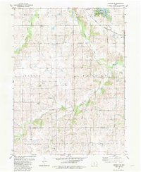
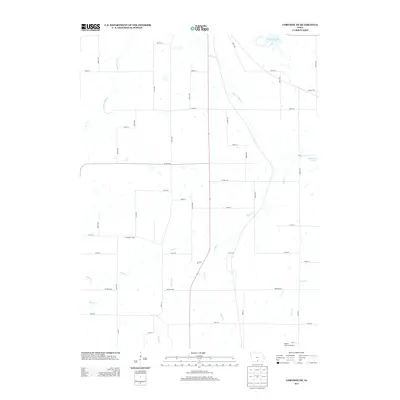
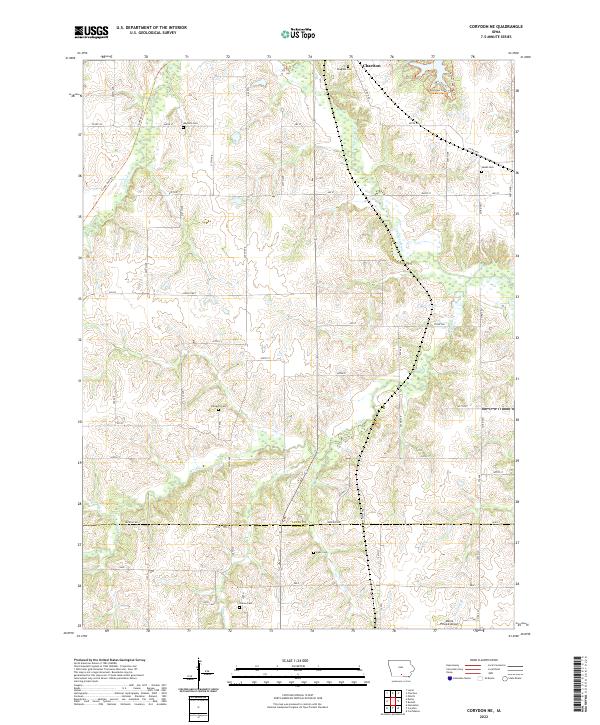
1982 Map of Corydon NE
USGS Topo · Published 1983About this map
Red Haw State Park and the waters of Red Haw Lake dominate the northeastern corner of this rural landscape where the Burlington Northern railroad cuts through Lincoln township. The map documents a predominantly agricultural region straddling the Lucas Co and Wayne Co line, characterized by a dense network of watercourses including the Chariton River, Honey Creek, and Wolf Creek.
Find a feature on this map
28 named features on this map. Tap any name to fly to it.
Don’t see what you’re looking for? This feature index may not catch every label — zoom into the map to look around manually.
Map Details
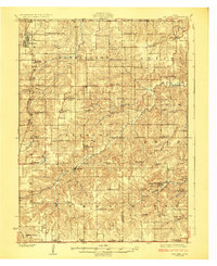
Editions of this 1982 Corydon NE Map
This is the sole edition of this map. No revisions or reprints were ever made.
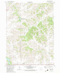
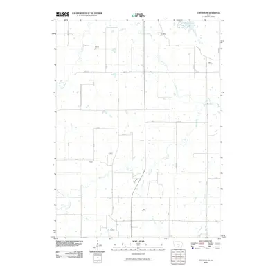
Historical Maps of Chariton Through Time
13 maps found
1924 Melcher
Lucas County, IA
1982 Corydon NE
Lucas County, IA
1982 Olmitz
Lucas County, IA
2010 Corydon NE
Lucas County, IA
2010 Olmitz
Lucas County, IA
2013 Corydon NE
Lucas County, IA
2013 Olmitz
Lucas County, IA
2015 Corydon NE
Lucas County, IA
2015 Olmitz
Lucas County, IA
2018 Corydon NE
Lucas County, IA
2018 Olmitz
Lucas County, IA
2022 Corydon NE
Lucas County, IA
2022 Olmitz
Lucas County, IA