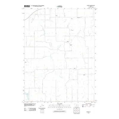
2010 Map of Olmitz
USGS Topo · Published 2010About this map
North Cedar Creek and English Creek carve through this rural section of Lucas County, Iowa, defining a landscape of agriculture and small settlements. The small communities of Olmitz and Tipperary serve as focal points for the surrounding farmsteads, which are connected by a grid of numbered roads and avenues like 303 TRL and 530 ST. The geography here is marked by significant genealogical landmarks, including Belinda Cemetery, Zion Cemetery, and the distinctly named Old Ireland Cemetery. In the southwest, Lake Morris provides a rare open water feature, while Possum Hollow suggests the varied elevation of the local terrain. This 2010 survey reflects a deeply established rural network where local history is anchored by its many family cemeteries, such as Oxford Cemetery and Bethel Cemetery, scattered throughout the creek valleys.
Find a feature on this map
48 named features on this map. Tap any name to fly to it.
Don’t see what you’re looking for? This feature index may not catch every label — zoom into the map to look around manually.
Map Details
Editions of this 2010 Olmitz Map
This is the sole edition of this map. No revisions or reprints were ever made.
Other maps of this area

1918 · Chariton
USGS Topo · 1:62,500

1924 · Melcher
USGS Topo · 1:62,500

1934 · Humeston
USGS Topo · 1:48,000

1935 · Russell
USGS Topo · 1:62,500

1937 · Corydon
USGS Topo · 1:62,500

1938 · Russell
USGS Topo · 1:62,500

1954 · Centerville
USGS Topo · 1:250,000

1954 · Des Moines
USGS Topo · 1:250,000

1956 · Des Moines
USGS Topo · 1:250,000

1957 · Des Moines
USGS Topo · 1:250,000