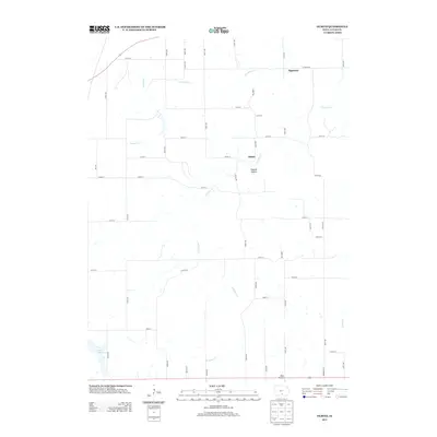
2013 Map of Olmitz
USGS Topo · Published 2013About this map
The small communities of Olmitz and Tipperary define the rural character of this Lucas County landscape during the early 21st century. Situated near the winding headwaters of N Cedar Cr, the region is marked by a complex network of county roads and trails that service the surrounding agricultural land. The terrain is notably dissected by several waterways, including English Cr and Carruthers Cr, with the low-lying Possum Hollow providing a distinct geographic landmark south of Olmitz. In the southwestern corner, the presence of Lake Morris and Beck Airport indicates the localized infrastructure supporting both recreation and private aviation. This map reflects a stable, modern rural economy where established county highways like Co HWY-h20 and Co HWY-h32 provide the primary connections between isolated homesteads and the larger township centers.
Find a feature on this map
50 named features on this map. Tap any name to fly to it.
Don’t see what you’re looking for? This feature index may not catch every label — zoom into the map to look around manually.
Map Details
Editions of this 2013 Olmitz Map
This is the sole edition of this map. No revisions or reprints were ever made.
Other maps of this area

1918 · Chariton
USGS Topo · 1:62,500

1924 · Melcher
USGS Topo · 1:62,500

1934 · Humeston
USGS Topo · 1:48,000

1935 · Russell
USGS Topo · 1:62,500

1937 · Corydon
USGS Topo · 1:62,500

1938 · Russell
USGS Topo · 1:62,500

1954 · Centerville
USGS Topo · 1:250,000

1954 · Des Moines
USGS Topo · 1:250,000

1956 · Des Moines
USGS Topo · 1:250,000

1957 · Des Moines
USGS Topo · 1:250,000