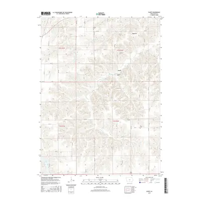
2015 Map of Olmitz
USGS Topo · Published 2015About this map
Tipperary and Olmitz sit within the rural drainages of southern Iowa, surrounded by a complex network of creeks that define the local topography. This 2015 survey reveals a landscape deeply connected to its past through a concentration of pioneer-era burial grounds. Family historians and genealogists can identify several distinct cemeteries including Belinda Cem, Zion Cem, Bethel Cem, and the evocative Old Ireland Cem, which point to early settlement patterns in Lucas County.
Find a feature on this map
39 named features on this map. Tap any name to fly to it.
Don’t see what you’re looking for? This feature index may not catch every label — zoom into the map to look around manually.
Map Details
Editions of this 2015 Olmitz Map
This is the sole edition of this map. No revisions or reprints were ever made.
Other maps of this area

1918 · Chariton
USGS Topo · 1:62,500

1924 · Melcher
USGS Topo · 1:62,500

1934 · Humeston
USGS Topo · 1:48,000

1935 · Russell
USGS Topo · 1:62,500

1937 · Corydon
USGS Topo · 1:62,500

1938 · Russell
USGS Topo · 1:62,500

1954 · Centerville
USGS Topo · 1:250,000

1954 · Des Moines
USGS Topo · 1:250,000

1956 · Des Moines
USGS Topo · 1:250,000

1957 · Des Moines
USGS Topo · 1:250,000