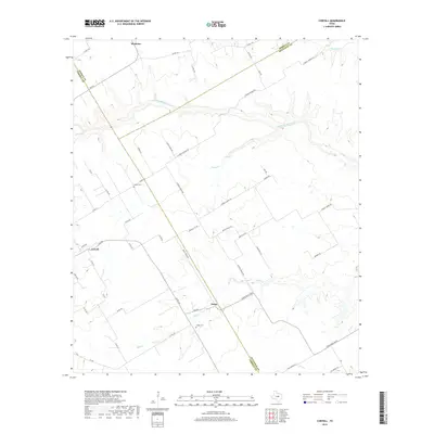
2019 Map of Coryell
USGS Topo · Published 2019About this map
The settlement of Osage anchors this rural landscape at the crossroads of FM 185 and Bluff Creek Rd. The topography is defined by the winding course of the Middle Bosque River and its various tributaries, including Castle Cr and Bluff Cr. This 2019 survey documents a region where the borders of Bosque, McLennan, and Coryell counties converge, reflecting the enduring rural character of central Texas.
Find a feature on this map
54 named features on this map. Tap any name to fly to it.
Don’t see what you’re looking for? This feature index may not catch every label — zoom into the map to look around manually.
Map Details
Editions of this 2019 Coryell Map
This is the sole edition of this map. No revisions or reprints were ever made.
Other maps of this area

1888 · Meridian
USGS Topo · 1:125,000

1892 · Temple
USGS Topo · 1:125,000

1892 · Waco
USGS Topo · 1:125,000

1894 · Meridian
USGS Topo · 1:125,000

1894 · Gatesville
USGS Topo · 1:125,000

1920 · Waco
USGS Topo · 1:125,000

1931 · Valley Mills
USGS Topo · 1:62,500

1931 · Mc Gregor
USGS Topo · 1:62,500

1947 · Oglesby
USGS Topo · 1:24,000

1947 · Gatesville East
USGS Topo · 1:24,000