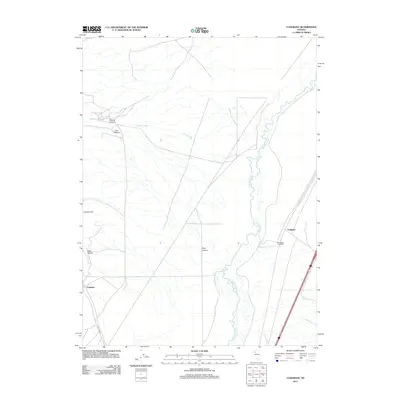
2011 Map of Cosgrave
USGS Topo · Published 2011About this map
The Humboldt River winds through this northern Nevada landscape, carving a fertile corridor amidst the surrounding desert and canyons. In this early 21st-century record, the settlement of Cosgrave sits near the river's path, reflecting the historic reliance on this water source in the arid Great Basin. The landscape is defined by its drainage systems, including Raspberry Creek and Central Creek, which flow from named elevations such as Florence Hill.
Find a feature on this map
13 named features on this map. Tap any name to fly to it.
Don’t see what you’re looking for? This feature index may not catch every label — zoom into the map to look around manually.
Map Details
Editions of this 2011 Cosgrave Map
This is the sole edition of this map. No revisions or reprints were ever made.
Other maps of this area

1931 · Lovelock
USGS Topo · 1:250,000

1932 · Sonoma Range
USGS Topo · 1:250,000

1935 · Lovelock
USGS Topo · 1:250,000

1939 · Sonoma Range
USGS Topo · 1:250,000

1939 · Eugene Mountains Area
USGS Topo · 1:62,500

1942 · Eugene Mountains Area
USGS Topo · 1:62,500

1955 · Lovelock
USGS Topo · 1:250,000

1955 · Winnemucca
USGS Topo · 1:250,000

1956 · Imlay
USGS Topo · 1:62,500

1958 · Winnemucca
USGS Topo · 1:250,000