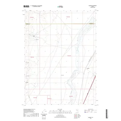
2018 Map of Cosgrave
USGS Topo · Published 2018About this map
Tungsten sits at the base of the mountain range along the western edge of this Nevada landscape, where the terrain shifts from the high elevations of Florence Hill down toward the Great Basin floor. The settlement pattern here is defined by the proximity to mineral resources and the vital transport corridor that follows the winding path of the Humboldt River. This watercourse, flanked by intermittent wetlands, serves as the primary artery through the desert, dictating the placement of both historic rail lines and modern highways.
Find a feature on this map
21 named features on this map. Tap any name to fly to it.
Don’t see what you’re looking for? This feature index may not catch every label — zoom into the map to look around manually.
Map Details
Editions of this 2018 Cosgrave Map
This is the sole edition of this map. No revisions or reprints were ever made.
Other maps of this area

1931 · Lovelock
USGS Topo · 1:250,000

1932 · Sonoma Range
USGS Topo · 1:250,000

1935 · Lovelock
USGS Topo · 1:250,000

1939 · Sonoma Range
USGS Topo · 1:250,000

1939 · Eugene Mountains Area
USGS Topo · 1:62,500

1942 · Eugene Mountains Area
USGS Topo · 1:62,500

1955 · Lovelock
USGS Topo · 1:250,000

1955 · Winnemucca
USGS Topo · 1:250,000

1956 · Imlay
USGS Topo · 1:62,500

1958 · Winnemucca
USGS Topo · 1:250,000